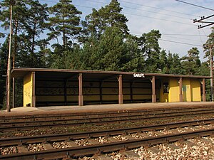
Garupe Station | |
|---|---|
 Garupe station in 2016 | |
| General information | |
| Location | Garupe, Carnikava Municipality |
| Coordinates | 57°6′51.07″N 24°14′42.21″E / 57.1141861°N 24.2450583°E |
| Platforms | 2 |
| Tracks | 2 |
Garupe Station is a railway station on the Zemitāni – Skulte Railway. [1]
References
- ^ "Publiskās lietošanas dzelzceļa infrastruktūras pārskats 2011" [2011 Public Railway Infrastructure Overview] (PDF) (in Latvian). Latvian Railways. 2010-06-05. p. 39. Archived from the original (PDF) on 2011-04-09. Retrieved 2010-10-17.