
Size of this preview:
445 × 599 pixels. Other resolutions:
178 × 240 pixels |
535 × 720 pixels.
Original file (535 × 720 pixels, file size: 244 KB, MIME type: image/jpeg)
| This is a file from the
Wikimedia Commons. Information from its
description page there is shown below. Commons is a freely licensed media file repository. You can help. |
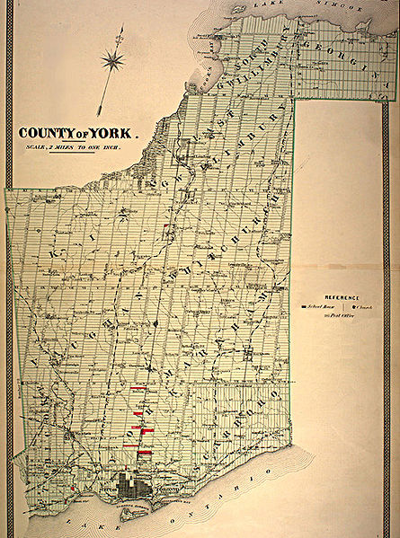
| Description | York County, Ontario ~1878 | |||
| Date | circa 1870s | |||
| Source | http://digital.library.mcgill.ca/CountyAtlas/SearchMapframes.php | |||
| Author | Unknown author | |||
| Permission ( Reusing this file) |
|

File history
Click on a date/time to view the file as it appeared at that time.
| Date/Time | Thumbnail | Dimensions | User | Comment | |
|---|---|---|---|---|---|
| current | 14:14, 30 October 2007 |
| 535 × 720 (244 KB) | WilyD | {{Information |Description=York County, Ontario ~1878 |Source=http://digital.library.mcgill.ca/CountyAtlas/SearchMapframes.php |Date=1870s?1880s? |Author=? |Permission={{PD-Canada}} |other_versions= }} [[Category:Maps of Ontario |
File usage
The following pages on the English Wikipedia use this file (pages on other projects are not listed):
Global file usage
The following other wikis use this file:
- Usage on fa.wikipedia.org
- Usage on ur.wikipedia.org
- Usage on www.wikidata.org
- Usage on zh.wikipedia.org