
Size of this preview:
770 × 599 pixels. Other resolutions:
308 × 240 pixels |
617 × 480 pixels |
987 × 768 pixels |
1,280 × 996 pixels |
2,560 × 1,993 pixels |
4,086 × 3,181 pixels.
Original file (4,086 × 3,181 pixels, file size: 5.59 MB, MIME type: image/jpeg)
| This is a file from the
Wikimedia Commons. Information from its
description page there is shown below. Commons is a freely licensed media file repository. You can help. |
Summary
| Description |
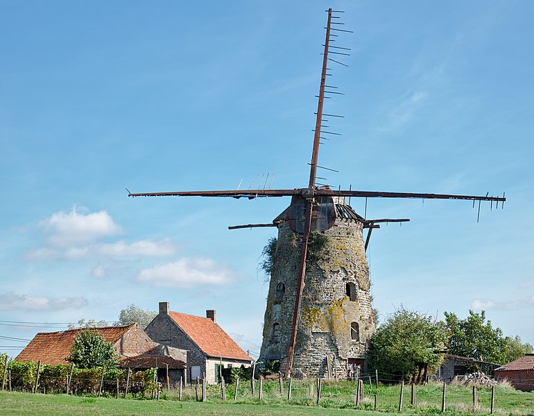
English: Margrietmolen windmill in Lo-Reninge, Belgium
|
|||||
| Date | ||||||
| Source | Own work | |||||
| Author | Trougnouf (Benoit Brummer) |


.jpg)
| Camera location |
| View this and other nearby images on: OpenStreetMap |
|
|---|
.jpg¶ms=050.964358_N_0002.729134_E_globe:Earth_type:camera__&language=en)
Licensing
I, the copyright holder of this work, hereby publish it under the following license:
This file is licensed under the
Creative Commons
Attribution 4.0 International license.
- You are free:
- to share – to copy, distribute and transmit the work
- to remix – to adapt the work
- Under the following conditions:
- attribution – You must give appropriate credit, provide a link to the license, and indicate if changes were made. You may do so in any reasonable manner, but not in any way that suggests the licensor endorses you or your use.

|
This image was uploaded as part of the photo contest
Wiki Loves Heritage in Belgium in 2018 in the European Year of Cultural Heritage.
|
This image has been assessed using the
Quality image guidelines and is considered a
Quality image.
|
File history
Click on a date/time to view the file as it appeared at that time.
| Date/Time | Thumbnail | Dimensions | User | Comment | |
|---|---|---|---|---|---|
| current | 14:55, 2 November 2018 |
| 4,086 × 3,181 (5.59 MB) | Trougnouf | recrop |
| 14:49, 2 November 2018 |
 | 4,578 × 3,247 (6.45 MB) | Trougnouf | darker, more contrast | |
| 14:46, 2 November 2018 |
 | 4,576 × 3,263 (6.39 MB) | Trougnouf | restore the corrupted blacks, perspective correction, inpaint some sky | |
| 13:16, 2 November 2018 |
 | 4,207 × 3,112 (5.81 MB) | Trougnouf | Uploaded with dtMediaWiki 39 |
File usage
The following pages on the English Wikipedia use this file (pages on other projects are not listed):
Global file usage
The following other wikis use this file:
- Usage on fr.wikipedia.org
- Usage on nl.wikipedia.org
- Usage on www.wikidata.org
.jpg)