Size of this preview:
800 × 237 pixels. Other resolutions:
320 × 95 pixels |
1,600 × 474 pixels.
Original file (1,600 × 474 pixels, file size: 102 KB, MIME type: image/jpeg)
| This is a file from the
Wikimedia Commons. Information from its
description page there is shown below. Commons is a freely licensed media file repository. You can help. |
Summary
| Description |
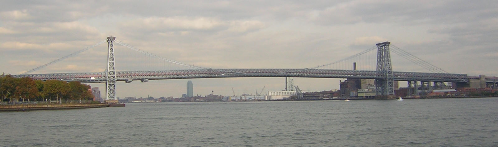
English:
Williamsburg Bridge from Circle Line boat in
Wallabout Bay on a mostly cloudy early afternoon. Full length of the bridge and part of the approaches. |
| Date | 13 November 2007 (original upload date) |
| Source | Transferred from en.wikipedia to Commons by Jay8g using CommonsHelper. |
| Author | Jim.henderson at English Wikipedia |
| Camera location | | View this and other nearby images on: OpenStreetMap |
|
|---|
Licensing
Jim.henderson at the
English Wikipedia, the copyright holder of this work, hereby publishes it under the following license:

|
Permission is granted to copy, distribute and/or modify this document under the terms of the GNU Free Documentation License, Version 1.2 or any later version published by the Free Software Foundation; with no Invariant Sections, no Front-Cover Texts, and no Back-Cover Texts. A copy of the license is included in the section entitled GNU Free Documentation License. |
| This file is licensed under the Creative Commons Attribution-Share Alike 3.0 Unported license. | ||
| Attribution: Jim.henderson at the English Wikipedia | ||
| ||
| This licensing tag was added to this file as part of the GFDL licensing update. |
Original upload log
The original description page was
here. All following user names refer to en.wikipedia.
- 2007-11-13 06:30 Jim.henderson 1600×474× (104561 bytes) Williamsburg Bridge from Circle Line boat in Wallabout Bay on a cloudy early afternoon. Full length of the bridge and part of the approaches.
File history
Click on a date/time to view the file as it appeared at that time.
| Date/Time | Thumbnail | Dimensions | User | Comment | |
|---|---|---|---|---|---|
| current | 02:03, 30 August 2011 |
| 1,600 × 474 (102 KB) | File Upload Bot (Magnus Manske) | {{BotMoveToCommons|en.wikipedia|year={{subst:CURRENTYEAR}}|month={{subst:CURRENTMONTHNAME}}|day={{subst:CURRENTDAY}}}} {{Information |Description={{en| en:Williamsburg Bridge from Circle Line boat in en:Wallabout Bay on a mostly cloudy early a |
File usage
The following pages on the English Wikipedia use this file (pages on other projects are not listed):
Global file usage
The following other wikis use this file:
- Usage on ru.wikipedia.org