
Size of this PNG preview of this SVG file:
774 × 600 pixels. Other resolutions:
310 × 240 pixels |
620 × 480 pixels |
992 × 768 pixels |
1,280 × 991 pixels |
2,560 × 1,983 pixels |
1,242 × 962 pixels.
Original file (SVG file, nominally 1,242 × 962 pixels, file size: 240 KB)
| This is a file from the
Wikimedia Commons. Information from its
description page there is shown below. Commons is a freely licensed media file repository. You can help. |
Summary
| Description |
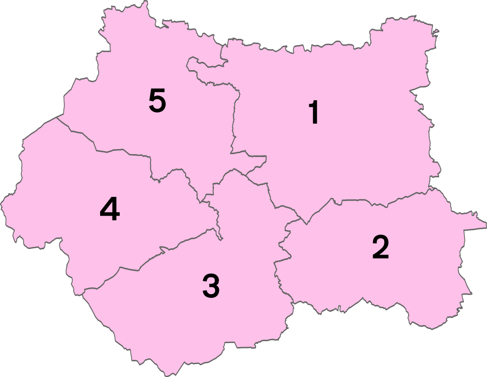
English: Numbered districts of West Yorkshire county. Derived from
File:West Yorkshire UK district map (blank).svg, by
Nilfanion. |
| Date | |
| Source | Own work |
| Author | Rcsprinter123 |
.svg)
Licensing
This file is licensed under the
Creative Commons
Attribution 3.0 Unported license.
Attribution:
Nilfanion
- You are free:
- to share – to copy, distribute and transmit the work
- to remix – to adapt the work
- Under the following conditions:
- attribution – You must give appropriate credit, provide a link to the license, and indicate if changes were made. You may do so in any reasonable manner, but not in any way that suggests the licensor endorses you or your use.
File history
Click on a date/time to view the file as it appeared at that time.
| Date/Time | Thumbnail | Dimensions | User | Comment | |
|---|---|---|---|---|---|
| current | 14:54, 10 October 2020 |
| 1,242 × 962 (240 KB) | Rcsprinter123 | crop blank space |
| 16:10, 20 May 2014 |
 | 1,425 × 1,039 (241 KB) | Rcsprinter123 | User created page with UploadWizard |
File usage
The following pages on the English Wikipedia use this file (pages on other projects are not listed):
Global file usage
The following other wikis use this file:
- Usage on af.wikipedia.org
- Usage on bn.wikipedia.org
- Usage on cs.wikipedia.org
- Usage on cy.wikipedia.org
- Usage on de.wikipedia.org
- Usage on es.wikipedia.org
- Usage on et.wikipedia.org
- Usage on fi.wikipedia.org
- Usage on frr.wikipedia.org
- Usage on fr.wikipedia.org
- Usage on hu.wikipedia.org
- Usage on incubator.wikimedia.org
- Usage on pl.wikipedia.org
- Usage on ur.wikipedia.org