
Size of this preview:
800 × 400 pixels. Other resolutions:
320 × 160 pixels |
640 × 320 pixels |
1,024 × 512 pixels |
1,280 × 640 pixels |
3,000 × 1,500 pixels.
Original file (3,000 × 1,500 pixels, file size: 7.78 MB, MIME type: image/png)
| This is a file from the
Wikimedia Commons. Information from its
description page there is shown below. Commons is a freely licensed media file repository. You can help. |
Summary
| Description |
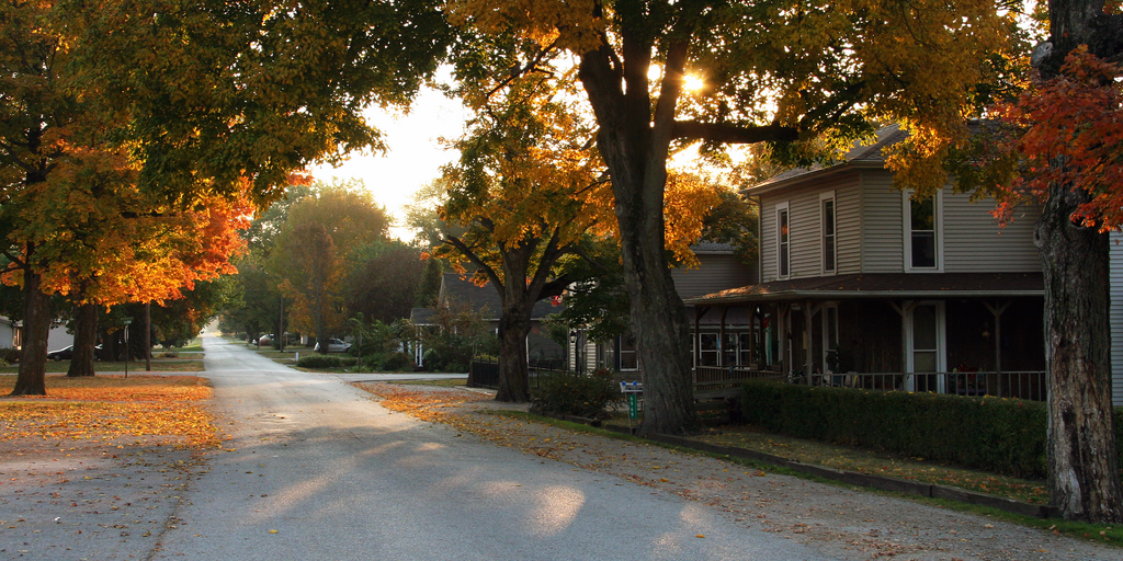
English: Looking east along Jefferson Street in the town of
West Point, Indiana. |
| Date | |
| Source | Own work |
| Author | Huw Williams ( Huwmanbeing) |
| Camera location | | View this and other nearby images on: OpenStreetMap |
|
|---|
Licensing
| I, the copyright holder of this work, release this work into the
public domain. This applies worldwide. In some countries this may not be legally possible; if so: I grant anyone the right to use this work for any purpose, without any conditions, unless such conditions are required by law. |
File history
Click on a date/time to view the file as it appeared at that time.
| Date/Time | Thumbnail | Dimensions | User | Comment | |
|---|---|---|---|---|---|
| current | 12:02, 13 October 2010 |
| 3,000 × 1,500 (7.78 MB) | Huwmanbeing | {{Information |Description={{en|1=Looking east along Jefferson Street in the town of {{w|West Point, Indiana}}.}} |Source={{own}} |Author= Huwmanbeing |Date=2010-10-12 |Permission= |other_versions= }} {{Location|40|20|41.8|N|87|2|33.5| |
File usage
The following pages on the English Wikipedia use this file (pages on other projects are not listed):
Global file usage
The following other wikis use this file:
- Usage on azb.wikipedia.org
- Usage on ca.wikipedia.org
- Usage on ceb.wikipedia.org
- Usage on ce.wikipedia.org
- Usage on cy.wikipedia.org
- Usage on es.wikipedia.org
- Usage on fa.wikipedia.org
- Usage on fi.wikipedia.org
- Usage on fy.wikipedia.org
- Usage on hu.wikipedia.org
- Usage on it.wikipedia.org
- Usage on lld.wikipedia.org
- Usage on pl.wikipedia.org
- Usage on sh.wikipedia.org
- Usage on sr.wikipedia.org
- Usage on tt.wikipedia.org
- Usage on uk.wikipedia.org
- Usage on ur.wikipedia.org
- Usage on www.wikidata.org
- Usage on zh.wikipedia.org