Size of this preview:
434 × 600 pixels. Other resolutions:
174 × 240 pixels |
347 × 480 pixels |
556 × 768 pixels |
741 × 1,024 pixels |
1,800 × 2,487 pixels.
Original file (1,800 × 2,487 pixels, file size: 1.02 MB, MIME type: image/jpeg)
| This is a file from the
Wikimedia Commons. Information from its
description page there is shown below. Commons is a freely licensed media file repository. You can help. |
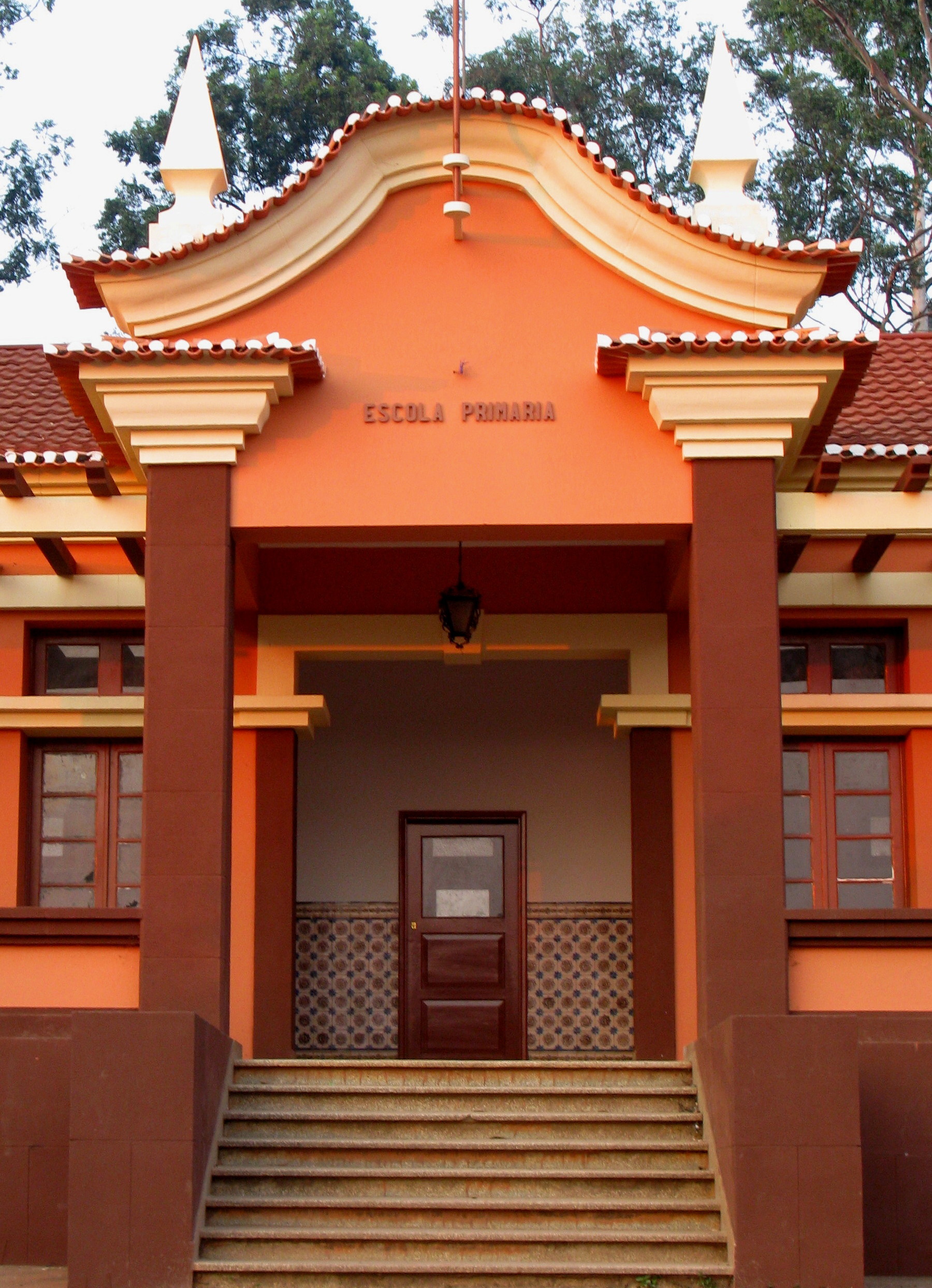
| Description | Waku Kungo, Angola |
| Date | Taken on 2 August 2009 |
| Source | https://web.archive.org/web/20161014110525/http://www.panoramio.com/photo/25173856 |
| Author | Rogério Melo |
| Permission ( Reusing this file) |
This file is licensed under the
Creative Commons
Attribution 3.0 Unported license. Attribution: Rogério Melo
|
| Other versions |

.jpg)
| Camera location |
| View this and other nearby images on: OpenStreetMap |
|
|---|
.jpg¶ms=-11.367448_N_0015.119333_E_globe:Earth_type:camera_source:Panoramio_&language=en)
File history
Click on a date/time to view the file as it appeared at that time.
| Date/Time | Thumbnail | Dimensions | User | Comment | |
|---|---|---|---|---|---|
| current | 06:45, 4 February 2020 |
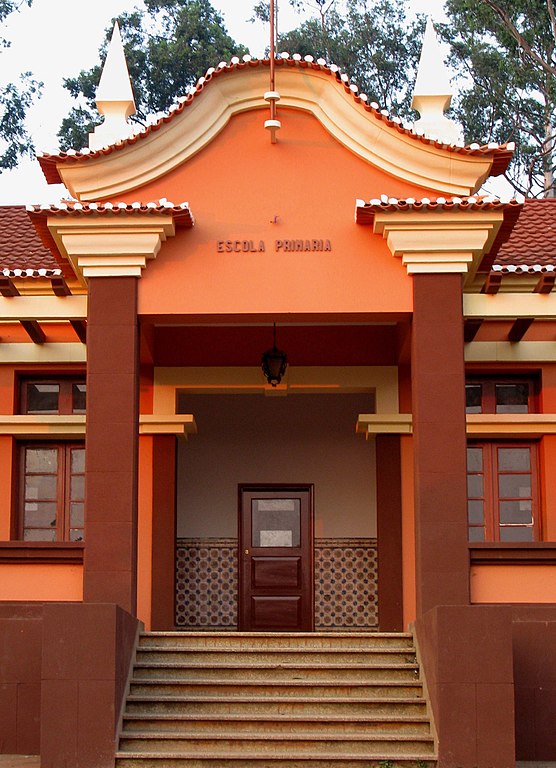
| 1,800 × 2,487 (1.02 MB) | Cristiano Tomás | File:Waku Kungo, Angola - panoramio.jpg cropped 22 % vertically using CropTool with precise mode. |
File usage
The following pages on the English Wikipedia use this file (pages on other projects are not listed):
Global file usage
The following other wikis use this file:
.jpg)