Size of this preview:
523 × 599 pixels. Other resolutions:
209 × 240 pixels |
419 × 480 pixels |
983 × 1,126 pixels.
Original file (983 × 1,126 pixels, file size: 556 KB, MIME type: image/jpeg)
| This is a file from the
Wikimedia Commons. Information from its
description page there is shown below. Commons is a freely licensed media file repository. You can help. |
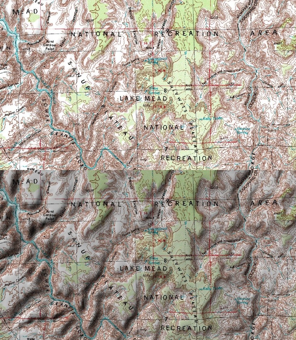
Topo map of Lake Mead areal - screenshot from World Wind showing the flat map (top) and the shaded version (bottom - with ligh source in the upper left corner)
| This image is in the
public domain because it is a screenshot from
NASA’s globe software
World Wind using a public domain layer, such as Blue Marble, MODIS, Landsat, SRTM, USGS or GLOBE.
|
 |
File history
Click on a date/time to view the file as it appeared at that time.
| Date/Time | Thumbnail | Dimensions | User | Comment | |
|---|---|---|---|---|---|
| current | 19:44, 13 February 2007 |
| 983 × 1,126 (556 KB) | M k | Topo map of Lake Mead area - screenshot from World Wind showing the flat map (top) and the shaded version (bottom - with ligh source in the upper left corner) {{PD-WorldWind}} |
File usage
The following pages on the English Wikipedia use this file (pages on other projects are not listed):
Global file usage
The following other wikis use this file:
- Usage on de.wikipedia.org
- Usage on ru.wikipedia.org