
Size of this preview:
542 × 599 pixels. Other resolutions:
217 × 240 pixels |
608 × 672 pixels.
Original file (608 × 672 pixels, file size: 145 KB, MIME type: image/jpeg)
| This is a file from the
Wikimedia Commons. Information from its
description page there is shown below. Commons is a freely licensed media file repository. You can help. |
| Description |
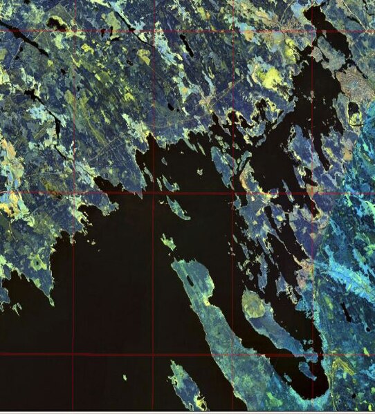
English:
Gulf of Finland. Eastern shore of the Bay of Vyborg
Русский:
Финский залив. Восточный берег Выборгского залива
Suomi:
Suomenlahti.
Eesti:
Soome laht.
Svenska:
Finska viken.
Deutsch:
Finnische Meerbusen. |
|||
| Date | ||||
| Source | NASA World Wind | |||
| Author | NASA | |||
| Permission ( Reusing this file) |
|

File history
Click on a date/time to view the file as it appeared at that time.
| Date/Time | Thumbnail | Dimensions | User | Comment | |
|---|---|---|---|---|---|
| current | 16:47, 20 December 2008 |
| 608 × 672 (145 KB) | Colchicum~commonswiki | {{Information |Description={{en|1= en:Bay of Vyborg}} |Source=NASA World Wind |Author=NASA |Date=2004 |Permission={{PD-WorldWind}} |other_versions= }} <!--{{ImageUpload|full}}--> Category:Gulf of Finland Category:Karelian Isthmus [[Category:V |
File usage
The following pages on the English Wikipedia use this file (pages on other projects are not listed):
Global file usage
The following other wikis use this file:
- Usage on cs.wikipedia.org
- Usage on es.wikipedia.org
- Usage on et.wikipedia.org
- Usage on fi.wikipedia.org
- Usage on fr.wikipedia.org
- Usage on it.wikipedia.org
- Usage on ko.wikipedia.org
- Usage on lt.wikipedia.org
- Usage on pl.wikipedia.org
- Usage on pl.wiktionary.org
- Usage on pt.wikipedia.org
- Usage on ru.wikipedia.org
- Usage on sl.wikipedia.org
- Usage on sr.wikipedia.org
- Usage on zh.wikipedia.org