
Size of this preview:
800 × 600 pixels. Other resolutions:
320 × 240 pixels |
640 × 480 pixels |
1,024 × 768 pixels |
1,280 × 960 pixels |
2,560 × 1,920 pixels |
2,816 × 2,112 pixels.
Original file (2,816 × 2,112 pixels, file size: 1.54 MB, MIME type: image/jpeg)
| This is a file from the
Wikimedia Commons. Information from its
description page there is shown below. Commons is a freely licensed media file repository. You can help. |
|
This is an image of
rijksmonument number
510759 Information from structured data: |
Summary
| Description |
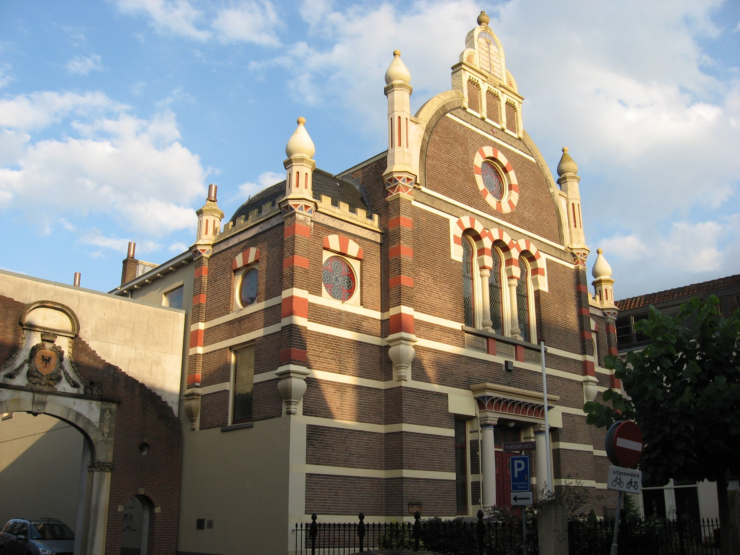
Nederlands: Synagoge aan de Golstraat in Deventer
English: Synagogue in Deventer (the Netherlands) |
| Date | |
| Source | Own work |
| Author | Martie Ressing, User :Ressing |
| Object location |
| View this and other nearby images on: OpenStreetMap |
|
|---|
Licensing
| This work has been released into the
public domain by its author, I,
Ressing. This applies worldwide. In some countries this may not be legally possible; if so: I, Ressing grants anyone the right to use this work for any purpose, without any conditions, unless such conditions are required by law. |
File history
Click on a date/time to view the file as it appeared at that time.
| Date/Time | Thumbnail | Dimensions | User | Comment | |
|---|---|---|---|---|---|
| current | 20:09, 27 July 2007 |
| 2,816 × 2,112 (1.54 MB) | Ressing~commonswiki | {{Information |Description= {{nl|Voormalige synagoge aan de Golstraat in Deventer}} {{en|Former synagogue in Deventer (the Netherlands)}} |Source=Own work |Date=2007-07-27 |Author=Martie Ressing, '' User :Ressing'' |Permission=See below |other_versions |
File usage
The following pages on the English Wikipedia use this file (pages on other projects are not listed):
Global file usage
The following other wikis use this file:
- Usage on es.wikipedia.org
- Usage on he.wikipedia.org
- Usage on it.wikivoyage.org
- Usage on nl.wikipedia.org
- Usage on www.wikidata.org
- Usage on zh.wikipedia.org