
Size of this preview:
800 × 595 pixels. Other resolutions:
320 × 238 pixels |
640 × 476 pixels |
858 × 638 pixels.
Original file (858 × 638 pixels, file size: 727 KB, MIME type: image/png)
| This is a file from the
Wikimedia Commons. Information from its
description page there is shown below. Commons is a freely licensed media file repository. You can help. |
.png)
Summary
| Description |
English: |
|||
| Date | ||||
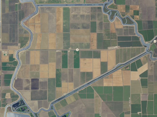
| Source | NASA tool at worldwind.earth, USGS Topo Imagery map layer | |||
| Author | USGS imagery | |||
| Permission ( Reusing this file) |
|
File history
Click on a date/time to view the file as it appeared at that time.
| Date/Time | Thumbnail | Dimensions | User | Comment | |
|---|---|---|---|---|---|
| current | 01:08, 18 September 2020 |
| 858 × 638 (727 KB) | JPxG | {{Information |description ={{en|1= Category:Islands of California}} |date =2020-09-16 |source =NASA tool at worldwind.earth, USGS Topo Imagery map layer |author =USGS imagery |permission ={{PD-USGov-USGS}} }} |
File usage
The following pages on the English Wikipedia use this file (pages on other projects are not listed):
Global file usage
The following other wikis use this file:
- Usage on ceb.wikipedia.org
- Usage on www.wikidata.org
.png)