
Size of this preview:
800 × 548 pixels. Other resolutions:
320 × 219 pixels |
640 × 438 pixels |
1,024 × 701 pixels |
1,200 × 822 pixels.
Original file (1,200 × 822 pixels, file size: 428 KB, MIME type: image/jpeg)
| This is a file from the
Wikimedia Commons. Information from its
description page there is shown below. Commons is a freely licensed media file repository. You can help. |
Summary
| Description |
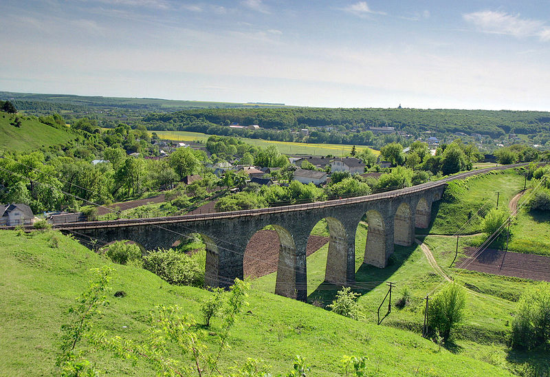
Українська: Віадук на перегоні Теребовля — Деренівка English: Viaduct on the Terebovlya - Derenivka stretch |
| Date | Taken on 15 May 2009, 16:46 |
| Source |
Українська:
Віадук на перегоні Теребовля - Деренівка
English: Viaduct on the Terebovlia — Derenivka stretch |
| Author | Leonid Andronov |
| Camera location |
| View this and other nearby images on: OpenStreetMap |
|
|---|
Licensing
This file is licensed under the
Creative Commons
Attribution 3.0 Unported license.
- You are free:
- to share – to copy, distribute and transmit the work
- to remix – to adapt the work
- Under the following conditions:
- attribution – You must give appropriate credit, provide a link to the license, and indicate if changes were made. You may do so in any reasonable manner, but not in any way that suggests the licensor endorses you or your use.
| This image, which was originally posted to Panoramio, was reviewed on {{{2}}} by the administrator or trusted user Ahonc, who confirmed that it was available on Panoramio under the above license on that date. |
File history
Click on a date/time to view the file as it appeared at that time.
| Date/Time | Thumbnail | Dimensions | User | Comment | |
|---|---|---|---|---|---|
| current | 10:57, 23 January 2011 |
| 1,200 × 822 (428 KB) | NorovNaz | {{Information |Description ={{uk|1=Віадук в селі Плебанівка, Теребовля, Тернопільська обл., Україна.}} |Source ={{own}} |Author = NorovNaz |Date = |Permissi |
File usage
The following pages on the English Wikipedia use this file (pages on other projects are not listed):
Global file usage
The following other wikis use this file:
- Usage on de.wikipedia.org
- Usage on pl.wikipedia.org
- Usage on ps.wikivoyage.org
- Usage on ro.wikipedia.org
- Usage on ru.wikipedia.org
- Usage on uk.wikipedia.org
- Usage on www.wikidata.org
- Usage on zh-min-nan.wikipedia.org
- Usage on zh.wikipedia.org