
Size of this preview:
800 × 510 pixels. Other resolutions:
320 × 204 pixels |
640 × 408 pixels |
1,125 × 717 pixels.
Original file (1,125 × 717 pixels, file size: 73 KB, MIME type: image/jpeg)
| This is a file from the
Wikimedia Commons. Information from its
description page there is shown below. Commons is a freely licensed media file repository. You can help. |
Summary
| Description |
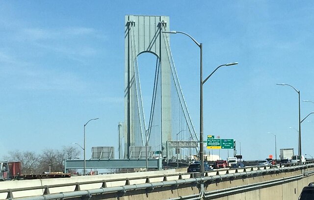
English: Entering the Verrazano Bridge to Brooklyn |
| Date | |
| Source | I took the picture myself |
| Author | I took the picture myself |
| Camera location | | View this and other nearby images on: OpenStreetMap |
|
|---|
Licensing
| I, the copyright holder of this work, release this work into the
public domain. This applies worldwide. In some countries this may not be legally possible; if so: I grant anyone the right to use this work for any purpose, without any conditions, unless such conditions are required by law. |
File history
Click on a date/time to view the file as it appeared at that time.
| Date/Time | Thumbnail | Dimensions | User | Comment | |
|---|---|---|---|---|---|
| current | 05:33, 24 March 2019 |
| 1,125 × 717 (73 KB) | TheEditster | trimmed image |
| 05:26, 24 March 2019 |
 | 1,566 × 1,053 (374 KB) | TheEditster | {{Information |description ={{en|1=Entering the Verrazano Bridge to Brooklyn}} |date =2019-03-22 |source =I took the picture myself |author =I took the picture myself }} |
File usage
The following pages on the English Wikipedia use this file (pages on other projects are not listed):