
File:Usa edcp (+HI +AK) location map.svg

Size of this PNG preview of this SVG file: 800 × 495 pixels. Other resolutions: 320 × 198 pixels | 640 × 396 pixels | 1,024 × 634 pixels | 1,280 × 792 pixels | 2,560 × 1,585 pixels | 1,181 × 731 pixels.
Original file (SVG file, nominally 1,181 × 731 pixels, file size: 3.68 MB)
| This is a file from the Wikimedia Commons. Information from its description page there is shown below. Commons is a freely licensed media file repository. You can help. |
Summary
| Description |
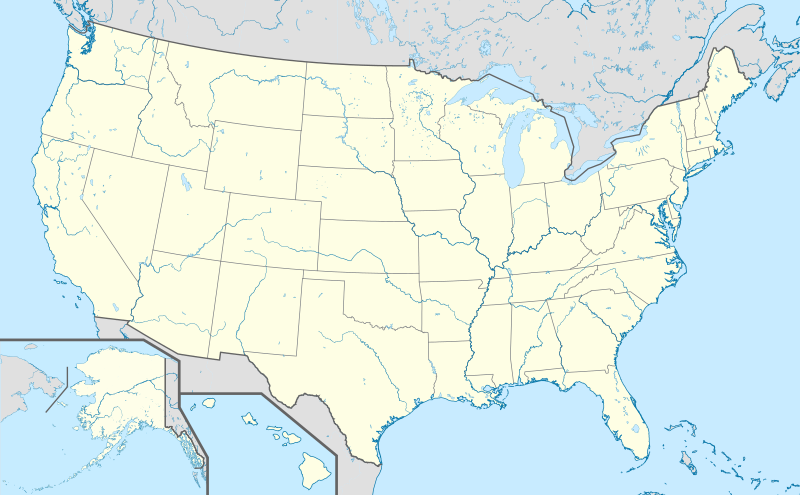
English: Location map of the USA (Hawaii and Alaska shown in sidemaps).
Main map: EquiDistantConicProjection : Central parallel : * N: 37.0° N Central meridian : * E: 96.0° W Standard parallels: * 1: 32.0° N * 2: 42.0° N Made with Natural Earth. Free vector and raster map data @ naturalearthdata.com. Formulas for x and y: x = 50.0 + 124.03149777329222 * ((1.9694462586094064-({{{2}}}* pi / 180))
* sin(0.6010514667026994 * ({{{3}}} + 96) * pi / 180))
y = 50.0 + 1.6155950752393982 * 124.03149777329222 * 0.02613325650382181
- 1.6155950752393982 * 124.03149777329222 *
(1.3236744353715044 - (1.9694462586094064-({{{2}}}* pi / 180))
* cos(0.6010514667026994 * ({{{3}}} + 96) * pi / 180))
Hawaii side map: Equirectangular projection, N/S stretching 107 %. Geographic limits of the map:
Alaska side map: Equirectangular projection, N/S stretching 210.0 %. Geographic limits of the map:
|
| Date | |
| Source |
Own work This vector image includes elements that have been taken or adapted from this file: This vector image includes elements that have been taken or adapted from this file: This vector image includes elements that have been taken or adapted from this file: This vector image includes elements that have been taken or adapted from this file: This vector image includes elements that have been taken or adapted from this file: This vector image includes elements that have been taken or adapted from this file: |
| Author |
TUBS |
| Other versions |
|
| SVG development |
_location_map.svg)
_relief_location_map.png)
_relief_location_map.svg)
_location_map.svg)
Licensing
I, the copyright holder of this work, hereby publish it under the following license:
This file is licensed under the Creative Commons Attribution-Share Alike 3.0 Unported license.
- You are free:
- to share – to copy, distribute and transmit the work
- to remix – to adapt the work
- Under the following conditions:
- attribution – You must give appropriate credit, provide a link to the license, and indicate if changes were made. You may do so in any reasonable manner, but not in any way that suggests the licensor endorses you or your use.
- share alike – If you remix, transform, or build upon the material, you must distribute your contributions under the same or compatible license as the original.
File history
Click on a date/time to view the file as it appeared at that time.
| Date/Time | Thumbnail | Dimensions | User | Comment | |
|---|---|---|---|---|---|
| current | 10:32, 15 March 2019 | | 1,181 × 731 (3.68 MB) | Lasunncty | remove unused elements and fix SVG errors |
| 17:03, 24 October 2013 |  | 1,181 × 731 (6.93 MB) | TUBS | ||
| 16:27, 24 October 2013 |  | 1,181 × 731 (6.94 MB) | TUBS | ||
| 15:52, 24 October 2013 |  | 1,181 × 731 (3.73 MB) | TUBS | ||
| 15:38, 24 October 2013 |  | 1,181 × 731 (3.73 MB) | TUBS | ||
| 15:25, 24 October 2013 |  | 1,181 × 731 (3.73 MB) | TUBS | == Summary == {{Information |Description={{en|1=Location map of the USA (Hawaii and Alaska shown in sidemaps). ===Main Map Projection=== EquiDistantConicProjection : Central parallel : * N: 37.0° N Central meridian : * E: 96.0° W Standard parallel... |
File usage
The following pages on the English Wikipedia use this file (pages on other projects are not listed):
- 2021–22 NCAA football bowl games
- 2022–23 NCAA football bowl games
- 2024 NCAA Division I men's basketball tournament
- 2024 NCAA Division I women's basketball tournament
- Great Peace March for Global Nuclear Disarmament
- Lil Snupe
- List of presidents of the United States by home state
- Murder of XXXTentacion
- North American Hockey League
- North American Rugby League
- Premier Rugby Sevens
- Stockton Island
- Women's Premier League Rugby
- User:Navarre0107/sandbox/4
- User:Noha307/sandbox
- User:Notorious4life/Pending article2
- User:SamIsMe31/sandbox
- User:Shl13132/sandbox
- Wikipedia:Articles for deletion/List of presidents of the United States by home state
- Wikipedia:Articles for deletion/Log/2020 November 12
- Module:Location map/data/USA2
- Module:Location map/data/USA2/doc
Global file usage
The following other wikis use this file:
- Usage on als.wikipedia.org
- San Marino (Kalifornien)
- Modesto
- Karlsruhe (Nord Dakota)
- Fargo
- Vorlage:Positionskarte USA
- St. Louis
- Philadelphia
- Norwood (Missouri)
- Wind Gap (Pennsylvania)
- Park City (Kentucky)
- Berne (Indiana)
- Vorlage:Infobox NRHP
- Vorlage:Positionskarte USA Texas
- Vorlage:Positionskarte USA Wisconsin
- Vorlage:Positionskarte USA Maryland
- Vorlage:Positionskarte USA New York
- Vorlage:Positionskarte USA New York City
- Vorlage:Positionskarte USA New York City Manhattan
- Usage on de.wikipedia.org
- Hollywood
- Los Angeles
- San Francisco
- Wyoming
- Houston
- Boston
- Cape Canaveral (Küstenabschnitt)
- Seattle
- Grand Canyon
- Philadelphia
- Crazy Horse Memorial
- Phoenix (Arizona)
- Yellowstone-Nationalpark
- Arches-Nationalpark
- Badlands-Nationalpark
- Big-Bend-Nationalpark
- Biscayne-Nationalpark
- Bryce-Canyon-Nationalpark
- Canyonlands-Nationalpark
- Acadia-Nationalpark
- Black-Canyon-of-the-Gunnison-Nationalpark
- Carlsbad-Caverns-Nationalpark
- Channel-Islands-Nationalpark
- Miami
- Everglades-Nationalpark
- Glacier-Nationalpark (Vereinigte Staaten)
- Grand-Teton-Nationalpark
- Great-Basin-Nationalpark
- Isle-Royale-Nationalpark
- Joshua-Tree-Nationalpark
- Mount St. Helens
- Lassen-Volcanic-Nationalpark
View more global usage of this file.
_location_map.svg)
_location_map.svg)