Size of this preview:
778 × 599 pixels. Other resolutions:
312 × 240 pixels |
623 × 480 pixels |
997 × 768 pixels |
1,280 × 986 pixels |
2,560 × 1,972 pixels |
5,957 × 4,589 pixels.
Original file (5,957 × 4,589 pixels, file size: 4.29 MB, MIME type: image/jpeg)
| This is a file from the
Wikimedia Commons. Information from its
description page there is shown below. Commons is a freely licensed media file repository. You can help. |
Summary
| Description |
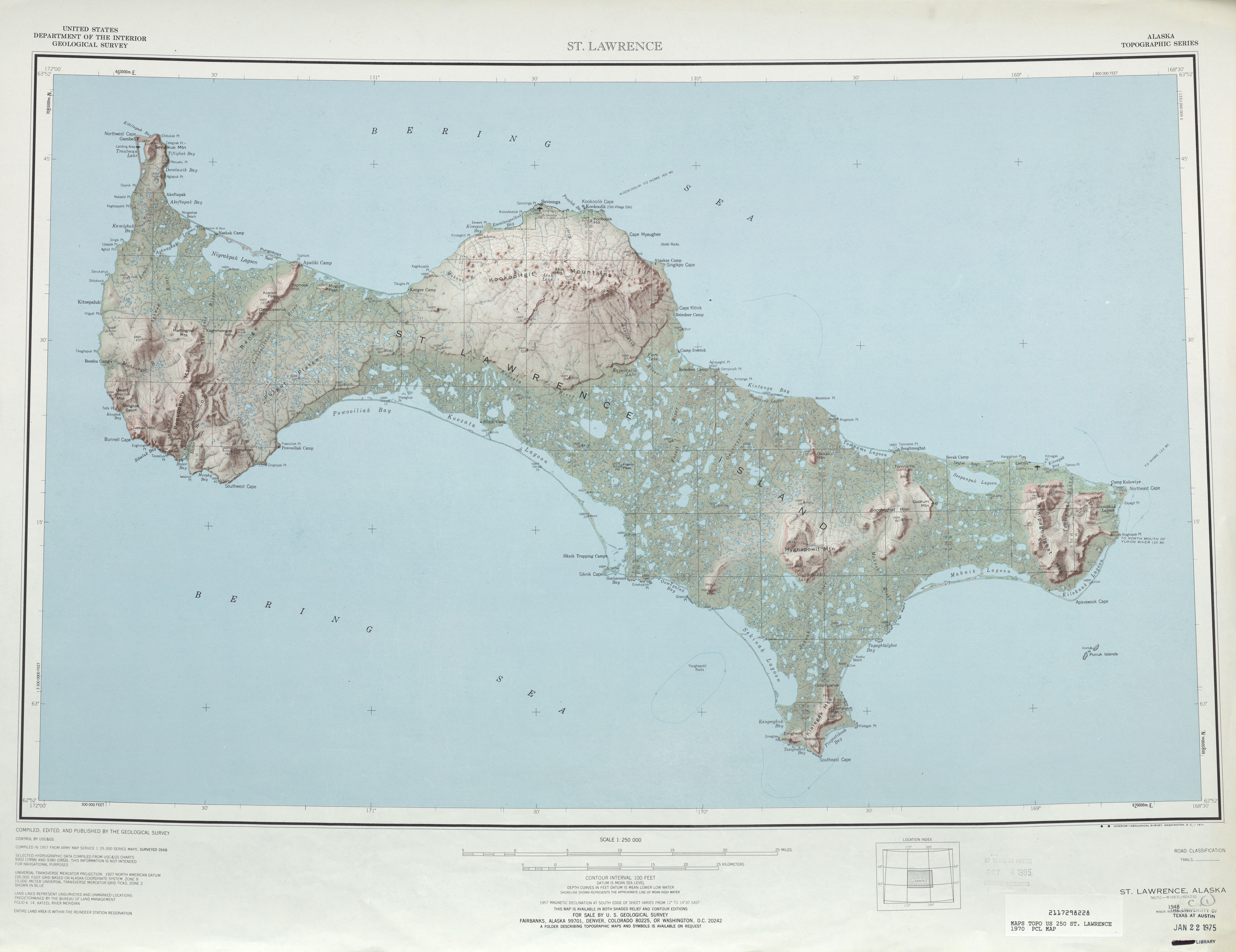
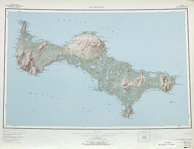
English: map sheet of Saint Lawrence Island, Alaska |
| Date | |
| Source | http://www.lib.utexas.edu/maps/topo/250k/txu-pclmaps-topo-us-saint_lawrence-1970.jpg |
| Author | US Geological Survey |
| Other versions |
.jpg)
Licensing
This image is in the
public domain in the United States because it only contains materials that originally came from the
United States Geological Survey, an agency of the
United States Department of the Interior. For more information, see
the official USGS copyright policy.
|
File history
Click on a date/time to view the file as it appeared at that time.
| Date/Time | Thumbnail | Dimensions | User | Comment | |
|---|---|---|---|---|---|
| current | 21:45, 1 October 2010 |
| 5,957 × 4,589 (4.29 MB) | Ratzer | {{Information |Description={{en|1=map sheet of Saint Lawrence Island, Alaska}} |Source=http://www.lib.utexas.edu/maps/topo/250k/txu-pclmaps-topo-us-saint_lawrence-1970.jpg |Author=US Geological Survey |Date=1970 |Permission= |other_versions= }} [[Categor |
File usage
The following pages on the English Wikipedia use this file (pages on other projects are not listed):
Global file usage
The following other wikis use this file:
- Usage on ar.wikipedia.org
- Usage on be.wikipedia.org
- Usage on bg.wikipedia.org
- Usage on ca.wikipedia.org
- Usage on ceb.wikipedia.org
- Usage on cs.wikipedia.org
- Usage on da.wikipedia.org
- Usage on de.wikipedia.org
- Usage on el.wikipedia.org
- Usage on eo.wikipedia.org
- Usage on es.wikipedia.org
- Usage on eu.wikipedia.org
- Usage on fa.wikipedia.org
- Usage on fr.wikipedia.org
- Usage on fy.wikipedia.org
- Usage on he.wikipedia.org
- Usage on id.wikipedia.org
- Usage on incubator.wikimedia.org
- Usage on it.wikipedia.org
- Usage on ja.wikipedia.org
- Usage on no.wikipedia.org
- Usage on pl.wikipedia.org
- Usage on ru.wikipedia.org
- Usage on sco.wikipedia.org
- Usage on simple.wikipedia.org
- Usage on th.wikipedia.org
- Usage on www.wikidata.org
- Usage on zh.wikipedia.org