Size of this preview:
670 × 599 pixels. Other resolutions:
268 × 240 pixels |
537 × 480 pixels |
859 × 768 pixels |
1,145 × 1,024 pixels |
2,290 × 2,048 pixels |
4,712 × 4,214 pixels.
Original file (4,712 × 4,214 pixels, file size: 5.61 MB, MIME type: image/jpeg)
| This is a file from the
Wikimedia Commons. Information from its
description page there is shown below. Commons is a freely licensed media file repository. You can help. |
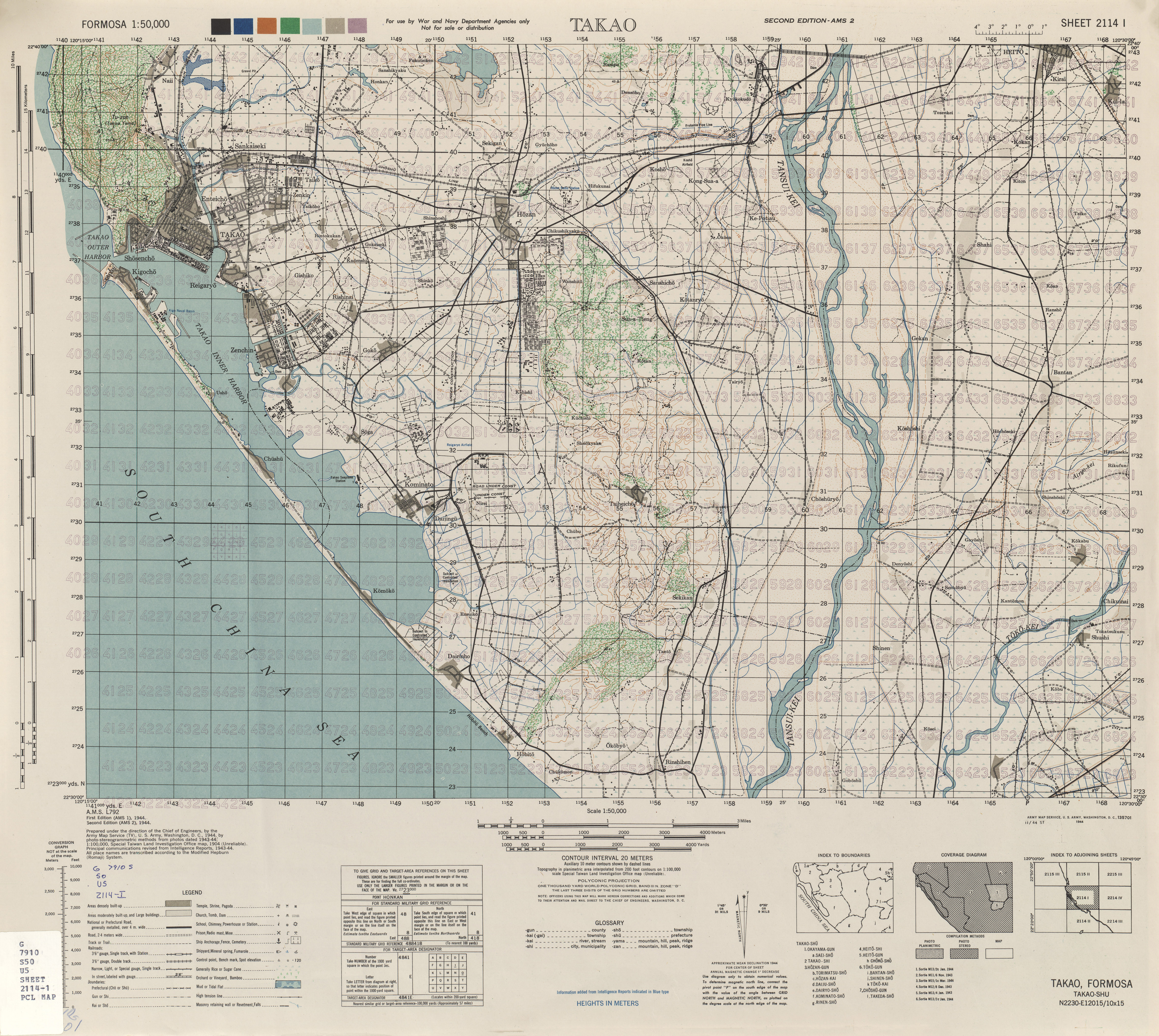
Summary
| Description |
English: Map from Formosa (Taiwan) 1:50,000 AMS Series L792 |
| Date |
Prepared: 1944 Scanned: 2016-03-30 11:39:08 |
| Source | Courtesy of the University of Texas Libraries, The University of Texas at Austin. |
| Author | Army Map Serivce, Corps of Engineers |
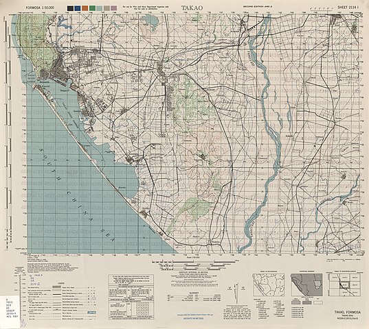
| Other versions | See also: File:City Plans Takao.jpg |
Licensing
This image or file is a work of a
U.S. Army Corps of Engineers soldier or employee, taken or made as part of that person's official duties. As a
work of the
U.S. federal government, the image is in the
public domain.
|
File history
Click on a date/time to view the file as it appeared at that time.
| Date/Time | Thumbnail | Dimensions | User | Comment | |
|---|---|---|---|---|---|
| current | 07:06, 15 November 2019 |
| 4,712 × 4,214 (5.61 MB) | Geographyinitiative | User created page with UploadWizard |
File usage
The following pages on the English Wikipedia use this file (pages on other projects are not listed):
Global file usage
The following other wikis use this file:
- Usage on en.wiktionary.org