
Size of this preview:
800 × 600 pixels. Other resolutions:
320 × 240 pixels |
640 × 480 pixels |
1,024 × 768 pixels |
1,280 × 960 pixels |
1,600 × 1,200 pixels.
Original file (1,600 × 1,200 pixels, file size: 395 KB, MIME type: image/jpeg)
| This is a file from the
Wikimedia Commons. Information from its
description page there is shown below. Commons is a freely licensed media file repository. You can help. |
Summary
| Description |
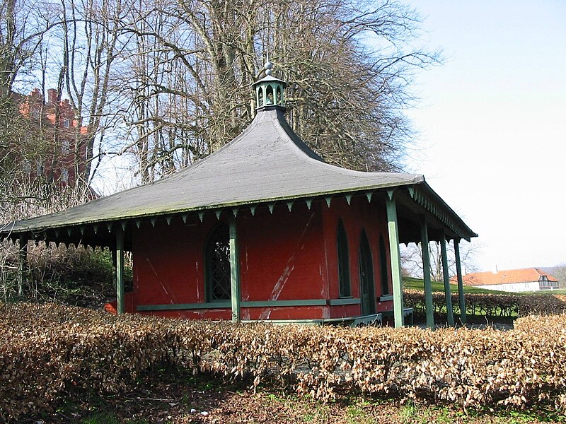
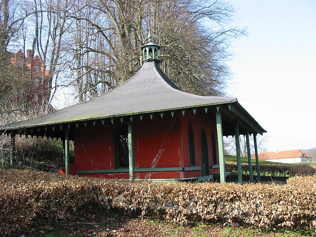
English: Den tofløjede hovedbygning (middelalder, 1720'rne, stærkt ombygget 1862-63 af N.S. Nebelong), teaterbygningen, herskabsstalden og vognladen (ca. 1800 muligvis Andreas Kirkerup) samt thepavillonen. F. 1918. Udv. 1994.* |
| Date | Unknown date |
| Source | https://www.europeana.eu/da/item/2020737/object_KUAS_2318814 |
| Author | Danish Agency for Culture |
| Object location |
| View this and other nearby images on: OpenStreetMap |
|
|---|
Licensing
This file is licensed under the
Creative Commons
Attribution 4.0 International license.
- You are free:
- to share – to copy, distribute and transmit the work
- to remix – to adapt the work
- Under the following conditions:
- attribution – You must give appropriate credit, provide a link to the license, and indicate if changes were made. You may do so in any reasonable manner, but not in any way that suggests the licensor endorses you or your use.
File history
Click on a date/time to view the file as it appeared at that time.
| Date/Time | Thumbnail | Dimensions | User | Comment | |
|---|---|---|---|---|---|
| current | 20:21, 20 December 2022 |
| 1,600 × 1,200 (395 KB) | Ramblersen2 | Uploaded a work by Danish Agency for Culture from https://www.europeana.eu/da/item/2020737/object_KUAS_2318814 with UploadWizard |
File usage
The following pages on the English Wikipedia use this file (pages on other projects are not listed):