Size of this preview:
800 × 600 pixels. Other resolutions:
320 × 240 pixels |
640 × 480 pixels |
1,024 × 768 pixels.
Original file (1,024 × 768 pixels, file size: 591 KB, MIME type: image/jpeg)
| This is a file from the
Wikimedia Commons. Information from its
description page there is shown below. Commons is a freely licensed media file repository. You can help. |
Summary
| Description |
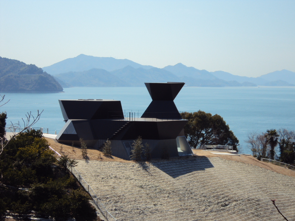
日本語: 愛媛県今治市大三島、今治市伊東豊雄建築ミュージアム / スティールハット。 English: Toyo Ito Museum of Architecture in Imabari, Ehime pref., Japan. |
| Date | |
| Source | Toyo Ito ー 今治市伊東豊雄建築博物館 01 ー 展示、演講棟 Steel Hut.jpg |
| Author | 準建築人手札網站 |
| Camera location |
| View this and other nearby images on: OpenStreetMap |
|
|---|
Licensing
| This image was originally posted to Flickr by 準建築人手札網站 Forgemind ArchiMedia at https://www.flickr.com/photos/44343967@N00/6000161625. It was reviewed on 26 January 2013 by FlickreviewR and was confirmed to be licensed under the terms of the cc-by-2.0. |
This file is licensed under the
Creative Commons
Attribution 2.0 Generic license.
- You are free:
- to share – to copy, distribute and transmit the work
- to remix – to adapt the work
- Under the following conditions:
- attribution – You must give appropriate credit, provide a link to the license, and indicate if changes were made. You may do so in any reasonable manner, but not in any way that suggests the licensor endorses you or your use.
File history
Click on a date/time to view the file as it appeared at that time.
| Date/Time | Thumbnail | Dimensions | User | Comment | |
|---|---|---|---|---|---|
| current | 17:00, 26 January 2013 |
| 1,024 × 768 (591 KB) | Rfyuya | User created page with UploadWizard |
File usage
The following pages on the English Wikipedia use this file (pages on other projects are not listed):
Global file usage
The following other wikis use this file: