No higher resolution available.
Townships.Madison.Co.map.png (400 × 263 pixels, file size: 32 KB, MIME type: image/png)
| This is a file from the
Wikimedia Commons. Information from its
description page there is shown below. Commons is a freely licensed media file repository. You can help. |
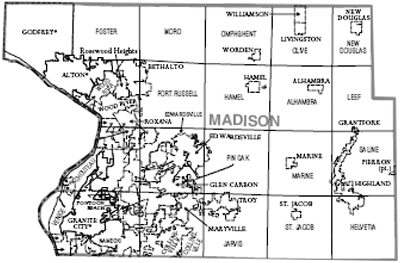
| Description | Township map of Madison County, Illinois | |||
| Date | ||||
| Source | https://www.census.gov/prod/cen2000/phc-1-15.pdf | |||
| Author | US Census Bureau; Cropped by uploader | |||
| Permission ( Reusing this file) |
|

File history
Click on a date/time to view the file as it appeared at that time.
| Date/Time | Thumbnail | Dimensions | User | Comment | |
|---|---|---|---|---|---|
| current | 13:48, 2 April 2008 |
| 400 × 263 (32 KB) | Notuncurious | {{Information |Description=Township map of Madison County, Illinois |Source=http://www.census.gov/prod/cen2000/phc-1-15.pdf |Date=2000 |Author=US Census Bureau; Cropped by uploader |Permission={{PD-USGov-DOC-Census}} |other_versions= }} [[Category:Maps o |
File usage
The following pages on the English Wikipedia use this file (pages on other projects are not listed):
Global file usage
The following other wikis use this file:
- Usage on de.wikipedia.org
- Usage on ja.wikipedia.org
- Usage on nl.wikipedia.org