
Size of this preview:
800 × 450 pixels. Other resolutions:
320 × 180 pixels |
640 × 360 pixels |
1,024 × 576 pixels |
1,280 × 720 pixels |
2,816 × 1,584 pixels.
Original file (2,816 × 1,584 pixels, file size: 1.81 MB, MIME type: image/jpeg)
| This is a file from the
Wikimedia Commons. Information from its
description page there is shown below. Commons is a freely licensed media file repository. You can help. |
|
This is an image of a place or building that is listed on the
National Register of Historic Places in the
United States of America. Its reference number is
76002147. |
| Camera location |
| View this and other nearby images on: OpenStreetMap |
|
|---|
| Description |
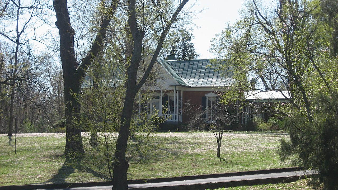
English: Front of
The Angles, located on Alben Barkley Drive (
U.S. Route 62) west of Fortieth Street in
Paducah,
Kentucky,
United States. Built in 1853 and the home of Vice President
Alben W. Barkley, it is listed on the
National Register of Historic Places. |
||
| Date | Taken on 13 April 2013 | ||
| Source | Own work | ||
| Author | Nyttend | ||
| Permission ( Reusing this file) |
|
File history
Click on a date/time to view the file as it appeared at that time.
| Date/Time | Thumbnail | Dimensions | User | Comment | |
|---|---|---|---|---|---|
| current | 04:02, 21 April 2013 |
| 2,816 × 1,584 (1.81 MB) | Nyttend | {{NRHP|76002147}} {{Location|37|3|35|N|88|38|49|W}} {{Information |Description={{en|Front of {{w|The Angles}}, located on Alben Barkley Drive ({{w|U.S. Route 62}}) west of Fortieth Street in {{w|Paducah, Kentucky|Paducah}}, {{w|Kentucky}}, {{w|United S... |
File usage
The following pages on the English Wikipedia use this file (pages on other projects are not listed):
Global file usage
The following other wikis use this file:
- Usage on azb.wikipedia.org
- Usage on de.wikipedia.org