
Size of this preview:
800 × 471 pixels. Other resolutions:
320 × 189 pixels |
640 × 377 pixels |
1,024 × 603 pixels |
1,280 × 754 pixels |
2,560 × 1,509 pixels |
4,561 × 2,688 pixels.
Original file (4,561 × 2,688 pixels, file size: 18.31 MB, MIME type: image/jpeg)
| This is a file from the
Wikimedia Commons. Information from its
description page there is shown below. Commons is a freely licensed media file repository. You can help. |
Summary
| Description |
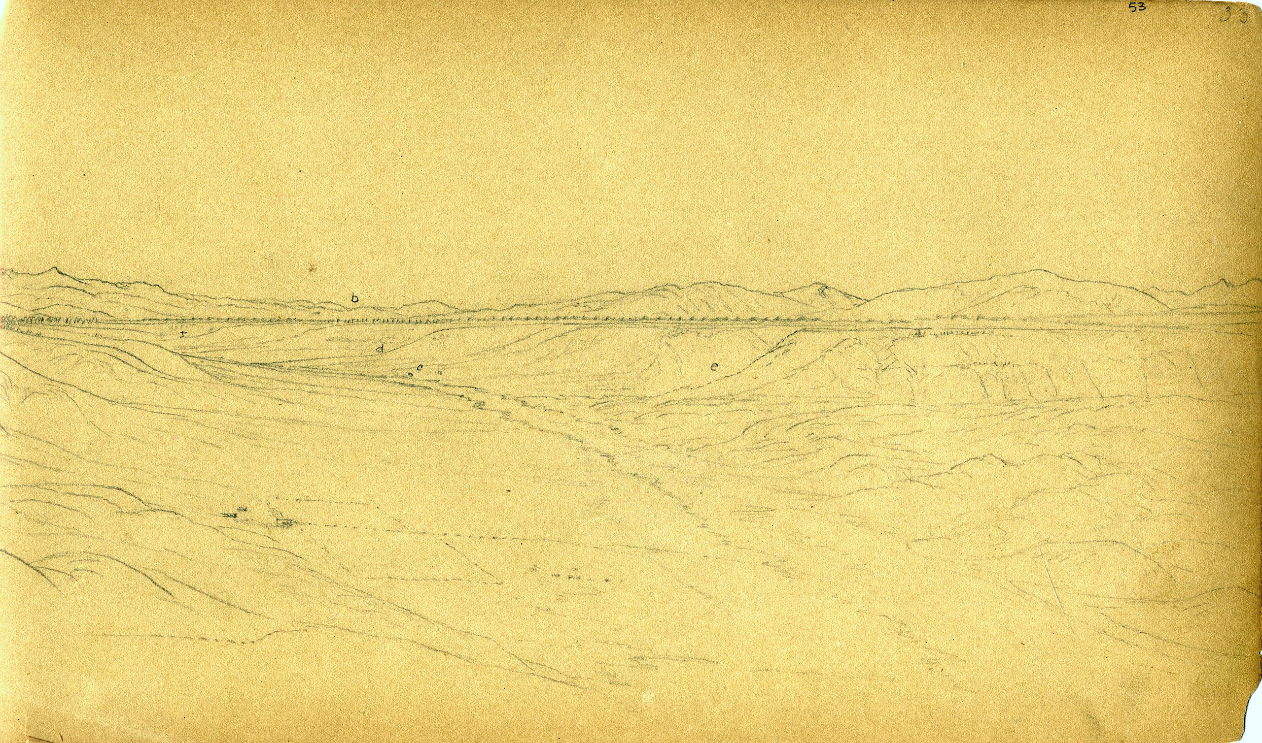
English: U.S. Geological and Geographical Survey of the Territories (Hayden Survey) Sheet number 53/33. Terraces of the Upper Arkansas River. Labeled features are: b - Tennessee Pass, c - camp, d - California Gulch, and e - Iowa Gulch. Forms panorama to the left with sheet number 52A (sketch 7448.39). |
| Date | |
| Source | http://libraryphoto.cr.usgs.gov/cgi-bin/show_picture.cgi?ID=ID.%20Holmes,%20W.H.%207448039a&SIZE=medium |
| Author | Hayden Survey |
Licensing
This image is in the
public domain in the United States because it only contains materials that originally came from the
United States Geological Survey, an agency of the
United States Department of the Interior. For more information, see
the official USGS copyright policy.
|
File history
Click on a date/time to view the file as it appeared at that time.
| Date/Time | Thumbnail | Dimensions | User | Comment | |
|---|---|---|---|---|---|
| current | 00:36, 9 December 2008 |
| 4,561 × 2,688 (18.31 MB) | Eeekster | {{Information |Description={{en|1=U.S. Geological and Geographical Survey of the Territories (Hayden Survey) Sheet number 53/33. Terraces of the Upper Arkansas River. Labeled features are: b - Tennessee Pass, c - camp, d - California Gulch, and e - Iowa G |
File usage
The following pages on the English Wikipedia use this file (pages on other projects are not listed):