
Size of this preview:
800 × 450 pixels. Other resolutions:
320 × 180 pixels |
640 × 360 pixels |
1,024 × 576 pixels |
1,280 × 720 pixels |
2,560 × 1,440 pixels |
6,695 × 3,766 pixels.
Original file (6,695 × 3,766 pixels, file size: 9.07 MB, MIME type: image/jpeg)
| This is a file from the
Wikimedia Commons. Information from its
description page there is shown below. Commons is a freely licensed media file repository. You can help. |
Summary
| Description |
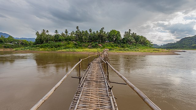
English: Front view of a wooden footbridge over the Nam Khan river, leading to the city of Luang Prabang, Laos, during the monsoon
Français : Vue de face d'une passerelle en bois au-dessus de la rivière Nam Khan, conduisant vers la ville de Luang Prabang, Laos, durant la mousson |
| Date | |
| Source | Own work |
| Author | Basile Morin |
| Camera location |
| View this and other nearby images on: OpenStreetMap |
|
|---|
|
Licensing
I, the copyright holder of this work, hereby publish it under the following license:
This file is licensed under the
Creative Commons
Attribution-Share Alike 4.0 International license.
- You are free:
- to share – to copy, distribute and transmit the work
- to remix – to adapt the work
- Under the following conditions:
- attribution – You must give appropriate credit, provide a link to the license, and indicate if changes were made. You may do so in any reasonable manner, but not in any way that suggests the licensor endorses you or your use.
- share alike – If you remix, transform, or build upon the material, you must distribute your contributions under the same or compatible license as the original.
File history
Click on a date/time to view the file as it appeared at that time.
| Date/Time | Thumbnail | Dimensions | User | Comment | |
|---|---|---|---|---|---|
| current | 14:42, 21 November 2018 |
| 6,695 × 3,766 (9.07 MB) | Basile Morin | User created page with UploadWizard |
File usage
The following pages on the English Wikipedia use this file (pages on other projects are not listed):
Global file usage
The following other wikis use this file:
- Usage on fa.wikipedia.org
- Usage on fr.wikipedia.org
- Usage on mg.wikipedia.org