Size of this preview:
495 × 599 pixels. Other resolutions:
198 × 240 pixels |
500 × 605 pixels.
Original file (500 × 605 pixels, file size: 88 KB, MIME type: image/jpeg)
| This is a file from the
Wikimedia Commons. Information from its
description page there is shown below. Commons is a freely licensed media file repository. You can help. |
Transwiki approved by: w:en:User:Dmcdevit
This image was copied from wikipedia:en. The original description was:
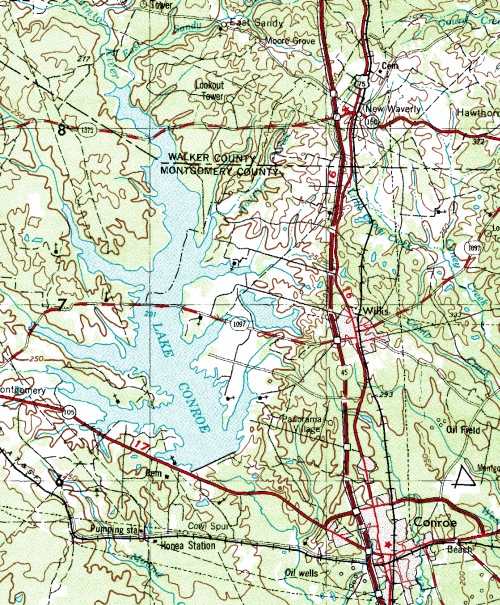
Summary
USGS Topo 250K cropped map of Lake Conroe and vicinity.
Licensing
| This image or media file contains material based on a work of a United States Department of the Interior employee, created as part of that person's official duties. As a work of the U.S. federal government, such work is in the public domain in the United States. See the Department of the Interior copyright policy for more information. |  |
Original upload log
| date/time | username | resolution | size | edit summary |
|---|---|---|---|---|
| 19:30, 28 July 2006 | w:en:User:Rwwff | 500×605 | 88 KB | USGS Topo 250K cropped map of Lake Conroe and vicinity. |
Image description page history
| link | date/time | username | edit summary |
|---|---|---|---|
| http://en.wikipedia.org/?title=Image:TXLakeConroeMap.jpg&redirect=no&oldid=117760407 | 20:02, 9 September 2007 | w:en:User:Dmcdevit | |
| http://en.wikipedia.org/?title=Image:TXLakeConroeMap.jpg&redirect=no&oldid=117760407 | 15:02, 25 March 2007 | w:en:User:Ccwaters | |
| http://en.wikipedia.org/?title=Image:TXLakeConroeMap.jpg&redirect=no&oldid=66400818 | 19:30, 28 July 2006 | w:en:User:Rwwff | (USGS Topo 250K cropped map of Lake Conroe and vicinity.) |
File history
Click on a date/time to view the file as it appeared at that time.
| Date/Time | Thumbnail | Dimensions | User | Comment | |
|---|---|---|---|---|---|
| current | 16:43, 10 September 2007 |
| 500 × 605 (88 KB) | BetacommandBot | Transwiki approved by: w:en:User:Dmcdevit This image was copied from wikipedia:en. The original description was: == Summary == USGS Topo 250K cropped map of Lake Conroe and vicinity. == Licensing == {{PD-USGov-Interior}} === File history === {| cla |
File usage
The following pages on the English Wikipedia use this file (pages on other projects are not listed):
Global file usage
The following other wikis use this file:
- Usage on ru.wikipedia.org