
Size of this preview:
800 × 592 pixels. Other resolutions:
320 × 237 pixels |
640 × 473 pixels |
1,024 × 757 pixels |
1,280 × 947 pixels |
2,304 × 1,704 pixels.
Original file (2,304 × 1,704 pixels, file size: 755 KB, MIME type: image/jpeg)
| This is a file from the
Wikimedia Commons. Information from its
description page there is shown below. Commons is a freely licensed media file repository. You can help. |
|
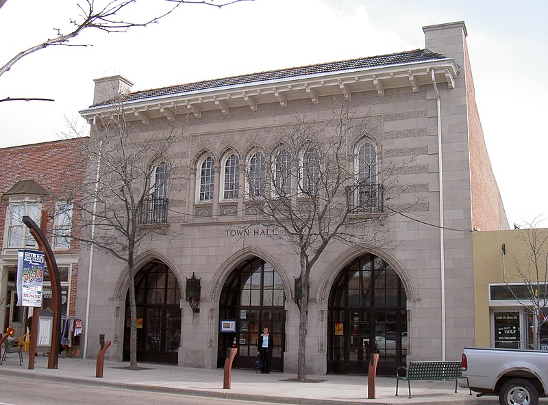
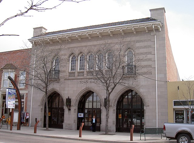
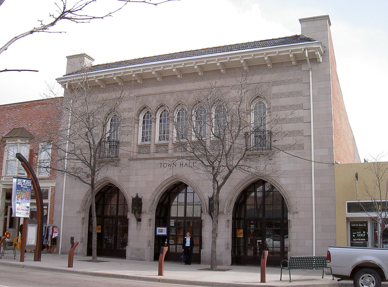
This is an image of a place or building that is listed on the
National Register of Historic Places in the
United States of America. Its reference number is
80000876. |
| Description |
English: Taken in March, 2005 by Tim Clare |
||||||||
| Date | 24 January 2006 (original upload date) | ||||||||
| Source | Transferred from en.wikipedia to Commons by Spyder_Monkey using CommonsHelper. | ||||||||
| Author | The original uploader was Timclare at English Wikipedia. | ||||||||
| Permission ( Reusing this file) |
|

| Object location |
| View this and other nearby images on: OpenStreetMap |
|
|---|
Original upload log
The original description page was
here. All following user names refer to en.wikipedia.
- 2006-01-24 23:41 Timclare 2304×1704× (773087 bytes) Taken in March, 2005 by Tim Clare
File history
Click on a date/time to view the file as it appeared at that time.
| Date/Time | Thumbnail | Dimensions | User | Comment | |
|---|---|---|---|---|---|
| current | 20:31, 29 March 2009 |
| 2,304 × 1,704 (755 KB) | File Upload Bot (Magnus Manske) | {{BotMoveToCommons|en.wikipedia|year={{subst:CURRENTYEAR}}|month={{subst:CURRENTMONTHNAME}}|day={{subst:CURRENTDAY}}}} {{Information |Description={{en|Taken in March, 2005 by Tim Clare}} |Source=Transferred from [http://en.wikipedia.org en.wikipedia]; tr |
File usage
The following pages on the English Wikipedia use this file (pages on other projects are not listed):
Global file usage
The following other wikis use this file:
- Usage on de.wikipedia.org
- Usage on en.wikivoyage.org
- Usage on pt.wikipedia.org
- Usage on www.wikidata.org