Size of this preview:
800 × 530 pixels. Other resolutions:
320 × 212 pixels |
640 × 424 pixels |
1,024 × 678 pixels |
1,280 × 848 pixels |
2,560 × 1,696 pixels |
4,928 × 3,264 pixels.
Original file (4,928 × 3,264 pixels, file size: 2.41 MB, MIME type: image/jpeg)
| This is a file from the
Wikimedia Commons. Information from its
description page there is shown below. Commons is a freely licensed media file repository. You can help. |
Summary
| Description |
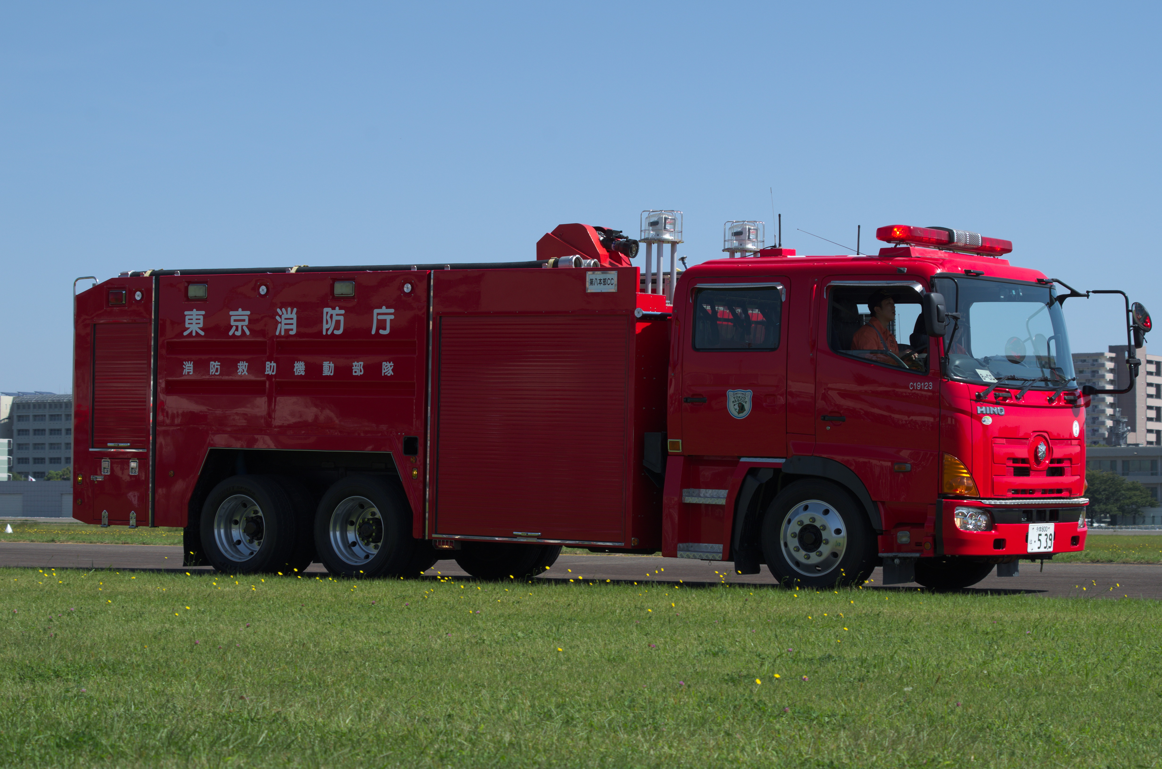
日本語: 陸上自衛隊 東京消防庁 警視庁 立川防災航空祭 2014 |
| Date | |
| Source | https://www.flickr.com/photos/115693927@N08/15410898322 |
| Author | Инариский |
| Camera location | | View this and other nearby images on: OpenStreetMap |
|
|---|
Licensing
| This image was originally posted to Flickr by Инариский at https://flickr.com/photos/115693927@N08/15410898322 ( archive). It was reviewed on 12 April 2018 by FlickreviewR 2 and was confirmed to be licensed under the terms of the cc-by-2.0. |
This file is licensed under the
Creative Commons
Attribution 2.0 Generic license.
- You are free:
- to share – to copy, distribute and transmit the work
- to remix – to adapt the work
- Under the following conditions:
- attribution – You must give appropriate credit, provide a link to the license, and indicate if changes were made. You may do so in any reasonable manner, but not in any way that suggests the licensor endorses you or your use.
File history
Click on a date/time to view the file as it appeared at that time.
| Date/Time | Thumbnail | Dimensions | User | Comment | |
|---|---|---|---|---|---|
| current | 12:41, 12 April 2018 |
| 4,928 × 3,264 (2.41 MB) | 廣九直通車 | User created page with UploadWizard |
File usage
The following pages on the English Wikipedia use this file (pages on other projects are not listed):
Global file usage
The following other wikis use this file:
- Usage on ja.wikipedia.org