
Size of this PNG preview of this SVG file:
588 × 600 pixels. Other resolutions:
235 × 240 pixels |
470 × 480 pixels |
753 × 768 pixels |
1,004 × 1,024 pixels |
2,007 × 2,048 pixels |
1,181 × 1,205 pixels.
Original file (SVG file, nominally 1,181 × 1,205 pixels, file size: 269 KB)
| This is a file from the
Wikimedia Commons. Information from its
description page there is shown below. Commons is a freely licensed media file repository. You can help. |
Summary
| Description |
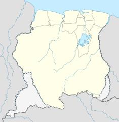
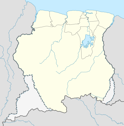
Deutsch: Positionskarte von
Suriname
Quadratische Plattkarte. Geographische Begrenzung der Karte:
English: Location map of
Suriname
Equirectangular projection. Geographic limits of the map:
|
| Date | 1 December 2008 (upload date) |
| Source |
own work, using
|
| Author | NordNordWest |
| Other versions | Derivative works of this file: Suriname relief location map.jpg |

|
This map has been made or improved in the German
Kartenwerkstatt (Map Lab). You can
propose maps to improve as well.
|
Licensing
I, the copyright holder of this work, hereby publish it under the following licenses:

|
Permission is granted to copy, distribute and/or modify this document under the terms of the GNU Free Documentation License, Version 1.2 or any later version published by the Free Software Foundation; with no Invariant Sections, no Front-Cover Texts, and no Back-Cover Texts. A copy of the license is included in the section entitled GNU Free Documentation License. |
This file is licensed under the
Creative Commons
Attribution-Share Alike 3.0 Unported license.
- You are free:
- to share – to copy, distribute and transmit the work
- to remix – to adapt the work
- Under the following conditions:
- attribution – You must give appropriate credit, provide a link to the license, and indicate if changes were made. You may do so in any reasonable manner, but not in any way that suggests the licensor endorses you or your use.
- share alike – If you remix, transform, or build upon the material, you must distribute your contributions under the same or compatible license as the original.
You may select the license of your choice.
File history
Click on a date/time to view the file as it appeared at that time.
| Date/Time | Thumbnail | Dimensions | User | Comment | |
|---|---|---|---|---|---|
| current | 16:03, 1 December 2008 |
| 1,181 × 1,205 (269 KB) | NordNordWest | {{Information |Description= {{de|Positionskarte von Suriname}} Quadratische Plattkarte. Geographische Begrenzung der Karte: * N: 6.4° N * S: 1.3° N * W: 58.6° W * O: 53.6° W {{en|Location map of Suriname}} Equirectang |
File usage
More than 100 pages use this file. The following list shows the first 100 pages that use this file only. A full list is available.
- 2009 Albina, Suriname riots
- Abenaston
- Afobaka Airstrip
- Alalapadu Airstrip
- Albina Airstrip
- Alliance, Suriname
- Amatopo Airstrip
- Apetina
- Apetina Airstrip
- Apoera
- Aurora, Suriname
- Baikutu
- Bakhuys Airstrip
- Batavia, Suriname
- Benzdorp
- Bitagron
- Boskamp, Suriname
- Botopasi
- Brokopondo
- Cabana Airstrip
- Coeroenie Airstrip
- Corneliskondre
- Cottica
- Danta Bai
- Djumu
- Djumu Airstrip
- Domburg, Suriname
- Donderskamp Airstrip
- Drietabbetje Airstrip
- Friendship, Suriname
- Gakaba Airstrip
- Goddo, Suriname
- Godo Holo Airstrip
- Groningen, Suriname
- Gross Rosebel Airstrip
- Heidoti
- Jenny, Suriname
- Jodensavanne
- Johan Adolf Pengel International Airport
- Kabalebo Airstrip
- Kajana, Suriname
- Kawemhakan
- Kronenburg, Suriname
- Kwamalasamutu
- Kwamelasemoetoe Airstrip
- Kwattahede
- Kwinti people
- Käyser Airstrip
- Laarwijk
- Laduani Airstrip
- Langatabbetje Airstrip
- Lawa Anapaike Airstrip
- Lawa Antino Airstrip
- Lawa Cottica Airstrip
- Lawa Tabiki Airstrip
- Lebidoti
- Lelygebergte Airstrip
- List of airports in Suriname
- List of top-division football clubs in CONCACAF countries
- Major Henk Fernandes Airport
- Makajapingo
- Manchester, Suriname
- Moengo Airstrip
- Moetoetoetabriki
- Moiwana
- Nieuw Jacobkondre
- Nieuw Nickerie
- Njoeng Jacob Kondre Airstrip
- Onverwacht, Suriname
- Pakkapakka
- Paradise, Suriname
- Paranam
- Pelelu Tepu
- Poeketi
- Poeketi Airstrip
- Poesoegroenoe Airstrip
- Pokigron
- Pontoetoe
- Raghoebarsing Airstrip
- Raleigh Airstrip
- Rudi Kappel Airstrip
- Sarakreek Airstrip
- Sipaliwini Airstrip
- Sipaliwini Savanna (town)
- South Drain, Suriname
- Stoelmans Eiland Airstrip
- Tabrikiekondre
- Tepoe Airstrip
- Tiriyó people
- Tjakkatjakka Ston
- Totness Airstrip
- Vier Gebroeders Airstrip
- Vincent Fayks Airstrip
- Wageningen, Suriname
- Wageningen Airstrip
- Wanhatti
- Warnakomoponafaja
- Washabo
- Wayana
- Zanderij
View more links to this file.
Global file usage
The following other wikis use this file:
- Usage on af.wikipedia.org
- Usage on an.wikipedia.org
- Usage on ar.wikipedia.org
- Usage on ast.wikipedia.org
- Usage on az.wikipedia.org
- Usage on be-tarask.wikipedia.org
- Usage on be.wikipedia.org
- Usage on bg.wikipedia.org
- Usage on bn.wikipedia.org
- Usage on bs.wikipedia.org
- Usage on ca.wikipedia.org
- Usage on ceb.wikipedia.org
View more global usage of this file.