
Size of this preview:
800 × 553 pixels. Other resolutions:
320 × 221 pixels |
640 × 442 pixels |
1,024 × 707 pixels |
1,280 × 884 pixels |
2,560 × 1,768 pixels.
Original file (2,560 × 1,768 pixels, file size: 364 KB, MIME type: image/jpeg)
| This is a file from the
Wikimedia Commons. Information from its
description page there is shown below. Commons is a freely licensed media file repository. You can help. |
Summary
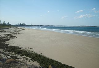
| Description | Stockton beach, New South Wales. Southern end of the beach taken from Shipwreck walk. |
| Date | |
| Source | Own work |
| Author | AussieLegend |
| Camera location |
| View this and other nearby images on: OpenStreetMap |
|
|---|
Licensing
| I, the copyright holder of this work, release this work into the
public domain. This applies worldwide. In some countries this may not be legally possible; if so: I grant anyone the right to use this work for any purpose, without any conditions, unless such conditions are required by law. |
File history
Click on a date/time to view the file as it appeared at that time.
| Date/Time | Thumbnail | Dimensions | User | Comment | |
|---|---|---|---|---|---|
| current | 11:09, 14 September 2007 |
| 2,560 × 1,768 (364 KB) | AussieLegend | {{Information |Description=Stockton beach, New South Wales. Southern end of the beach taken from Shipwreck walk. |Source=self-made |Date=27 August 2007 |Author= AussieLegend }} {{location dec|-32.9157|151.79163}} == Licensing == {{P |
| 10:08, 12 September 2007 |
 | 2,300 × 1,268 (238 KB) | AussieLegend | {{Information |Description=Stockton beach, New South Wales. Sothern end of the beach taken from Shipwreck walk. |Source=self-made |Date=27 August 2007 |Author= AussieLegend }} {{location dec|-32.91548|151.79082}} == Licensing == {{P |
File usage
The following pages on the English Wikipedia use this file (pages on other projects are not listed):
Global file usage
The following other wikis use this file:
- Usage on arz.wikipedia.org