
Size of this preview:
800 × 450 pixels. Other resolutions:
320 × 180 pixels |
640 × 360 pixels |
1,024 × 576 pixels |
1,280 × 720 pixels |
2,816 × 1,584 pixels.
Original file (2,816 × 1,584 pixels, file size: 1.87 MB, MIME type: image/jpeg)
| This is a file from the
Wikimedia Commons. Information from its
description page there is shown below. Commons is a freely licensed media file repository. You can help. |
|
This is an image of a place or building that is listed on the
National Register of Historic Places in the
United States of America. Its reference number is
95001416. |
| Camera location |
| View this and other nearby images on: OpenStreetMap |
|
|---|
| Description |
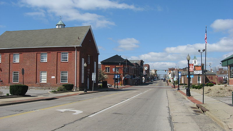
English: Looking westward on E. State Street (
State Route 14) on the eastern edge of downtown
Salem,
Ohio,
United States. These blocks are part of the
Salem Downtown Historic District, a
historic district that is listed on the
National Register of Historic Places. |
||
| Date | Taken on 2 April 2012 | ||
| Source | Own work | ||
| Author | Nyttend | ||
| Permission ( Reusing this file) |
|
File history
Click on a date/time to view the file as it appeared at that time.
| Date/Time | Thumbnail | Dimensions | User | Comment | |
|---|---|---|---|---|---|
| current | 13:37, 6 May 2012 |
| 2,816 × 1,584 (1.87 MB) | Nyttend | {{NRHP|95001416}} {{Location|40|54|3.5|N|80|51|3|W}} {{Information |Description={{en|Looking westward on E. State Street ({{w|Ohio State Route 14|State Route 14}}) on the eastern edge of downtown {{w|Salem, Ohio|Salem}}, {{w|Ohio}}, {{w|United States}}... |
File usage
The following pages on the English Wikipedia use this file (pages on other projects are not listed):
Global file usage
The following other wikis use this file:
- Usage on azb.wikipedia.org
- Usage on ceb.wikipedia.org
- Usage on pl.wikipedia.org
- Usage on pt.wikipedia.org
- Usage on tr.wikipedia.org
- Usage on ur.wikipedia.org
- Usage on www.wikidata.org
- Usage on zh-min-nan.wikipedia.org