
Size of this preview:
783 × 599 pixels. Other resolutions:
314 × 240 pixels |
627 × 480 pixels |
1,003 × 768 pixels |
1,280 × 980 pixels |
1,600 × 1,225 pixels.
Original file (1,600 × 1,225 pixels, file size: 506 KB, MIME type: image/jpeg)
| This is a file from the
Wikimedia Commons. Information from its
description page there is shown below. Commons is a freely licensed media file repository. You can help. |
| Description |
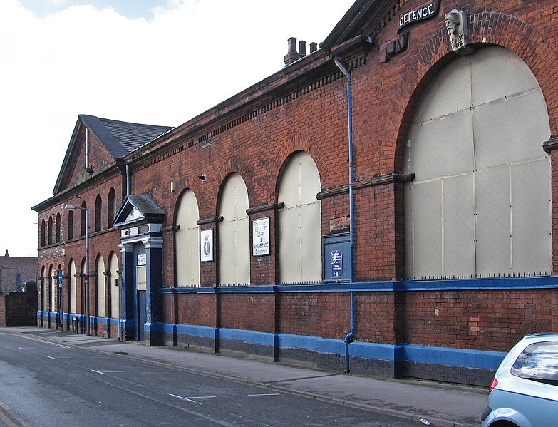
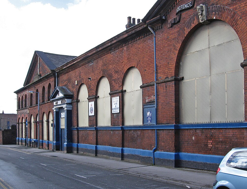
English: St Helens, Mill Street Barracks, from east |
||
| Date | |||
| Source | geograph.org.uk | ||
| Author | Dave Bevis | ||
| Permission ( Reusing this file) |
This file is licensed under the
Creative Commons
Attribution-Share Alike 2.0 Generic license. Attribution: Dave Bevis
|
||
| Attribution ( required by the license) | Dave Bevis / St Helens - Mill Street Barracks - from east / | ||

| Camera location | | View this and other nearby images on: OpenStreetMap |
|
|---|
_heading:270.00&language=en)
| Object location | | View this and other nearby images on: OpenStreetMap |
|
|---|
_heading:270.00&language=en)
File history
Click on a date/time to view the file as it appeared at that time.
| Date/Time | Thumbnail | Dimensions | User | Comment | |
|---|---|---|---|---|---|
| current | 21:27, 17 September 2017 |
| 1,600 × 1,225 (506 KB) | Geograph Update Bot | Higher-resolution version from Geograph. |
| 17:03, 8 September 2017 |
 | 640 × 490 (91 KB) | Dormskirk | {{Information |Description ={{en|1=St Helens, Mill Street Barracks, from east}} |Source =[http://www.geograph.org.uk/photo/3866030 geograph.org.uk] |Author =[http://www.geograph.org.uk/profile/18186 Dave Bevis] |Date =24 Fe... |
File usage
The following pages on the English Wikipedia use this file (pages on other projects are not listed):
Global file usage
The following other wikis use this file:
- Usage on www.wikidata.org