DescriptionSt. Francis Dam base remains tkksummers.jpg
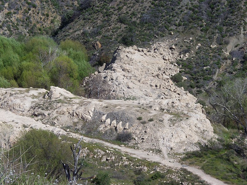
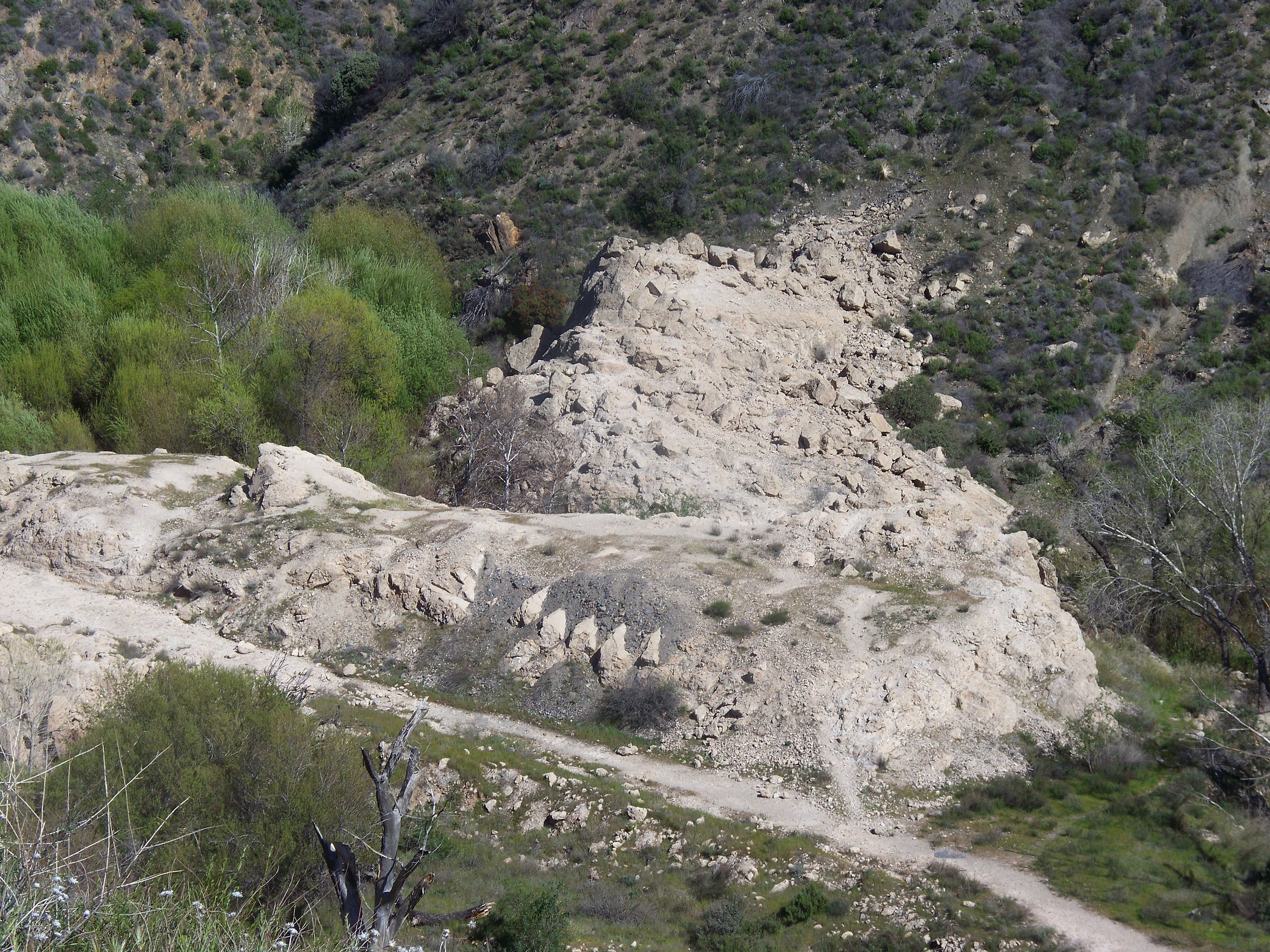
This photograph shows the remains of the base of the
St. Francis Dam. After its collapse in 1928 the remaining blocks, including what had been the the large center section which had remained standing, were blasted and jack hammered. This was done in order to discourage sightseers and to avoid additional accidents after a teen fell to his death after ascending the remaining standing block of the concrete dam. Nevertheless, some of the steps that defined the face of the curved concrete gravity dam are visible in the foreground of these remains. This image differs from the original digital photograph; the contrast and color saturation have been modestly enhanced.
Note: It would be interesting to learn from someone who knows whether or not the foreground piece that shows the steps is the remains of the block that remained standing after the collapse.
to share – to copy, distribute and transmit the work
to remix – to adapt the work
Under the following conditions:
attribution – You must give appropriate credit, provide a link to the license, and indicate if changes were made. You may do so in any reasonable manner, but not in any way that suggests the licensor endorses you or your use.
share alike – If you remix, transform, or build upon the material, you must distribute your contributions under the
same or compatible license as the original.
This image, originally posted to Flickr, was reviewed on 3 June 2009 by the
administrator or
reviewerOdder, who confirmed that it was available on Flickr under the stated license on that date.
Information (Geography)
Captions
Add a one-line explanation of what this file represents
{{Information |Description= This photograph shows the remains of the base of the
St. Francis Dam. After its collapse in 1928 the remains were blasted and jackhammered in order discourage sightseers and to avoid a additional accide
File usage
The following pages on the English Wikipedia use this file (pages on other projects are not listed):
