
Size of this preview:
800 × 525 pixels. Other resolutions:
320 × 210 pixels |
640 × 420 pixels |
1,024 × 671 pixels |
1,280 × 839 pixels |
2,560 × 1,679 pixels |
4,694 × 3,078 pixels.
Original file (4,694 × 3,078 pixels, file size: 4 MB, MIME type: image/jpeg)
| This is a file from the
Wikimedia Commons. Information from its
description page there is shown below. Commons is a freely licensed media file repository. You can help. |
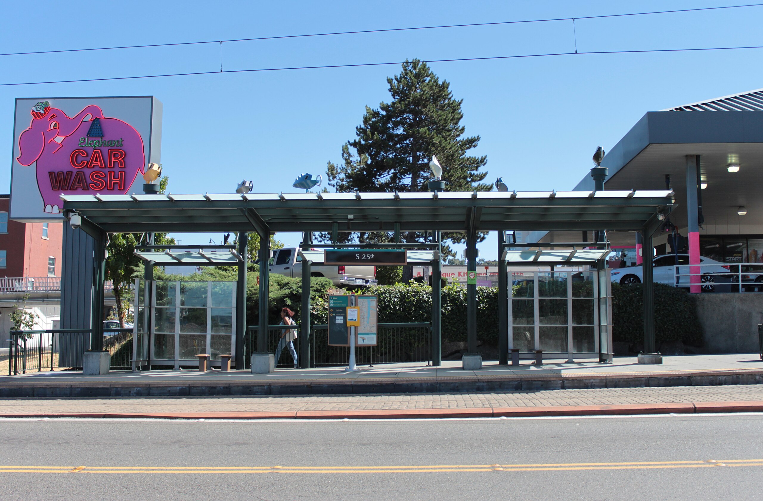
| Description | The platform at South 25th Street Station, part of the Tacoma Link light rail line in Tacoma. |
| Date | |
| Source |
Own work Flickr copy: South 25th Station platform |
| Author | SounderBruce |
| Permission ( Reusing this file) |
This file is licensed under the
Creative Commons
Attribution-Share Alike 2.0 Generic license.
|
| Camera location |
| View this and other nearby images on: OpenStreetMap |
|
|---|
File history
Click on a date/time to view the file as it appeared at that time.
| Date/Time | Thumbnail | Dimensions | User | Comment | |
|---|---|---|---|---|---|
| current | 01:04, 6 August 2015 |
| 4,694 × 3,078 (4 MB) | SounderBruce | {{Information |Description=The platform at South 25th Street Station, part of the w:Tacoma Link w:light rail line in w:Tacoma, Washington. |Source={{own}}<br />Flickr copy: [https://www.flickr.com/p... |
File usage
The following pages on the English Wikipedia use this file (pages on other projects are not listed):
Global file usage
The following other wikis use this file:
- Usage on es.wikipedia.org
- Usage on ja.wikipedia.org
- Usage on www.wikidata.org