
Size of this preview:
776 × 600 pixels. Other resolutions:
311 × 240 pixels |
621 × 480 pixels |
994 × 768 pixels |
1,280 × 989 pixels |
2,560 × 1,978 pixels |
3,300 × 2,550 pixels.
Original file (3,300 × 2,550 pixels, file size: 1.04 MB, MIME type: image/jpeg)
| This is a file from the
Wikimedia Commons. Information from its
description page there is shown below. Commons is a freely licensed media file repository. You can help. |
Summary
| Description |
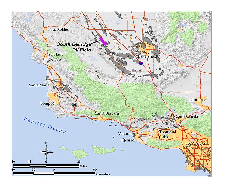
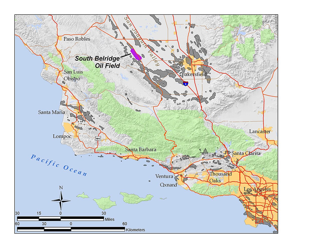
English: Location of South Belridge Oil Field in Kern County, California. Map made by
User:Antandrus in ArcGIS 9.2. All data shown on this map is in the public domain. Sources include USGS National Elevation Dataset; highways and urban areas from the Census 2000 TIGER files; federal lands from US Dept of the Interior; oil field boundaries from California Dept of Conservation, Division of Oil, Gas, and Geothermal Resources (DOGGR). |
| Date | 4 March 2008 (original upload date) |
| Source | Transferred from en.wikipedia to Commons by Quadell using CommonsHelper. |
| Author | Antandrus at English Wikipedia |
Licensing
Antandrus at
English Wikipedia, the copyright holder of this work, hereby publishes it under the following licenses:
This file is licensed under the
Creative Commons
Attribution-Share Alike 3.0 Unported license.
Attribution:
Antandrus at
English Wikipedia
- You are free:
- to share – to copy, distribute and transmit the work
- to remix – to adapt the work
- Under the following conditions:
- attribution – You must give appropriate credit, provide a link to the license, and indicate if changes were made. You may do so in any reasonable manner, but not in any way that suggests the licensor endorses you or your use.
- share alike – If you remix, transform, or build upon the material, you must distribute your contributions under the same or compatible license as the original.

|
Permission is granted to copy, distribute and/or modify this document under the terms of the GNU Free Documentation License, Version 1.2 or any later version published by the Free Software Foundation; with no Invariant Sections, no Front-Cover Texts, and no Back-Cover Texts. A copy of the license is included in the section entitled GNU Free Documentation License. |
You may select the license of your choice.
Original upload log
The original description page was
here. All following user names refer to en.wikipedia.
- 2008-03-04 00:19 Antandrus 3300×2550× (1091298 bytes) Location of South Belridge Oil Field in Kern County, California. Map made by [[User:Antandrus]] in ArcGIS 9.2. All data shown on this map is in the public domain. Sources include USGS National Elevation Dataset; highways and urban areas from the Census 20
File history
Click on a date/time to view the file as it appeared at that time.
| Date/Time | Thumbnail | Dimensions | User | Comment | |
|---|---|---|---|---|---|
| current | 16:10, 7 September 2011 |
| 3,300 × 2,550 (1.04 MB) | File Upload Bot (Magnus Manske) | {{BotMoveToCommons|en.wikipedia|year={{subst:CURRENTYEAR}}|month={{subst:CURRENTMONTHNAME}}|day={{subst:CURRENTDAY}}}} {{Information |Description={{en|Location of South Belridge Oil Field in Kern County, California. Map made by en:User:Antandrus in |
File usage
The following pages on the English Wikipedia use this file (pages on other projects are not listed):
Global file usage
The following other wikis use this file:
- Usage on www.wikidata.org