No higher resolution available.
Shady_Dr_East_brick_houses_Lebo_jeh.jpg (640 × 480 pixels, file size: 78 KB, MIME type: image/jpeg)
| This is a file from the
Wikimedia Commons. Information from its
description page there is shown below. Commons is a freely licensed media file repository. You can help. |
Summary
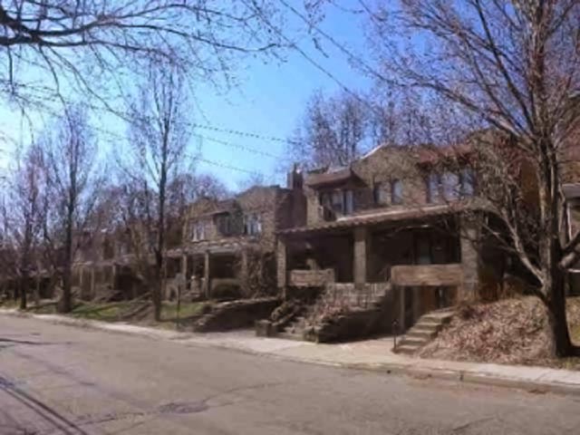
| Description |
English: Looking south across Shady Drive East at brick houses on a sunny morning. |
| Date | |
| Source | Own work |
| Author | Jim.henderson |
| Camera location | | View this and other nearby images on: OpenStreetMap |
|
|---|
Licensing
I, the copyright holder of this work, hereby publish it under the following license:
| This file is made available under the Creative Commons CC0 1.0 Universal Public Domain Dedication. | |
| The person who associated a work with this deed has dedicated the work to the
public domain by waiving all of their rights to the work worldwide under copyright law, including all related and neighboring rights, to the extent allowed by law. You can copy, modify, distribute and perform the work, even for commercial purposes, all without asking permission.
|
File history
Click on a date/time to view the file as it appeared at that time.
| Date/Time | Thumbnail | Dimensions | User | Comment | |
|---|---|---|---|---|---|
| current | 23:05, 10 February 2019 |
| 640 × 480 (78 KB) | Dicklyon | Reduced JPEG noise, adjusted levels to balance color. |
| 15:57, 19 April 2011 |
 | 640 × 480 (68 KB) | Jim.henderson |
File usage
The following pages on the English Wikipedia use this file (pages on other projects are not listed):