
Size of this preview:
800 × 478 pixels. Other resolutions:
320 × 191 pixels |
640 × 382 pixels |
1,024 × 612 pixels |
1,280 × 765 pixels |
2,825 × 1,688 pixels.
Original file (2,825 × 1,688 pixels, file size: 1.11 MB, MIME type: image/jpeg)
| This is a file from the
Wikimedia Commons. Information from its
description page there is shown below. Commons is a freely licensed media file repository. You can help. |
Summary
| Description |
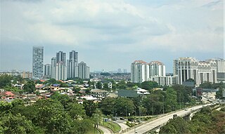
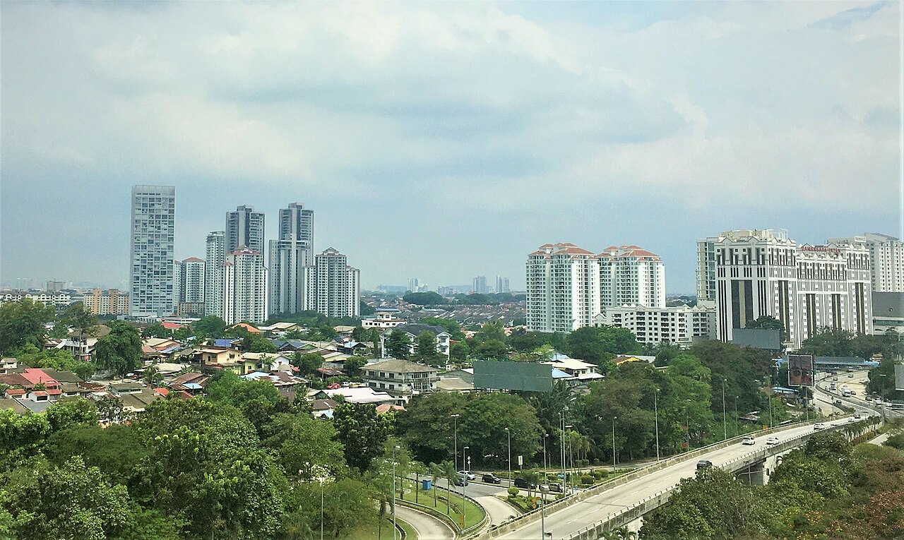
English: View of Damansara New Village (Section 17A), Petaling Jaya, besides the Sprint Highway and amongst the new highrise of Petaling Jaya. |
| Date | |
| Source | Own work |
| Author | Slleong |
| Camera location | | View this and other nearby images on: OpenStreetMap |
|
|---|
Licensing
I, the copyright holder of this work, hereby publish it under the following license:
| This file is made available under the Creative Commons CC0 1.0 Universal Public Domain Dedication. | |
| The person who associated a work with this deed has dedicated the work to the
public domain by waiving all of their rights to the work worldwide under copyright law, including all related and neighboring rights, to the extent allowed by law. You can copy, modify, distribute and perform the work, even for commercial purposes, all without asking permission.
|
File history
Click on a date/time to view the file as it appeared at that time.
| Date/Time | Thumbnail | Dimensions | User | Comment | |
|---|---|---|---|---|---|
| current | 04:49, 27 September 2020 |
| 2,825 × 1,688 (1.11 MB) | Slleong | Uploaded own work with UploadWizard |
File usage
The following pages on the English Wikipedia use this file (pages on other projects are not listed):
Global file usage
The following other wikis use this file:
- Usage on de.wikipedia.org
- Usage on ta.wikipedia.org