Size of this preview:
536 × 599 pixels. Other resolutions:
215 × 240 pixels |
429 × 480 pixels |
824 × 921 pixels.
Original file (824 × 921 pixels, file size: 133 KB, MIME type: image/png)
| This is a file from the
Wikimedia Commons. Information from its
description page there is shown below. Commons is a freely licensed media file repository. You can help. |
Summary
| Description |
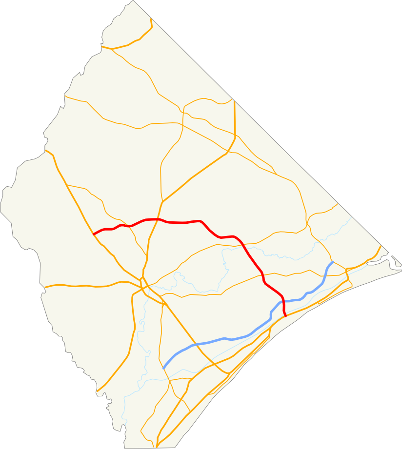
English: Map of the
w:Conway Bypass in Horry County, South Carolina. |
| Date | |
| Source | I created this work entirely by myself, except for the county outline from Wikipedia which was priorly released into the public domain. |
| Author | Isipeoria ( talk) |
Licensing
| I, the copyright holder of this work, release this work into the
public domain. This applies worldwide. In some countries this may not be legally possible; if so: I grant anyone the right to use this work for any purpose, without any conditions, unless such conditions are required by law. |
File history
Click on a date/time to view the file as it appeared at that time.
| Date/Time | Thumbnail | Dimensions | User | Comment | |
|---|---|---|---|---|---|
| current | 02:08, 17 January 2009 |
| 824 × 921 (133 KB) | Isipeoria | {{Information |Description=Map of the Conway Bypass in Horry County, South Carolina. |Source=I created this work entirely by myself, except for the county outline from Wikipedia which was priorly released into the public domain. |Date=January 16, 2009 |
File usage
The following pages on the English Wikipedia use this file (pages on other projects are not listed):