
Size of this preview:
800 × 600 pixels. Other resolutions:
320 × 240 pixels |
640 × 480 pixels |
1,024 × 768 pixels |
1,280 × 960 pixels |
2,560 × 1,920 pixels |
4,608 × 3,456 pixels.
Original file (4,608 × 3,456 pixels, file size: 5.93 MB, MIME type: image/jpeg)
| This is a file from the
Wikimedia Commons. Information from its
description page there is shown below. Commons is a freely licensed media file repository. You can help. |
Summary
| Description |
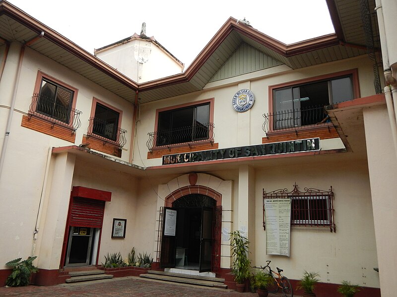
English: San Quintin Town Hall
[1] Coordinates: 15°58'57"N 120°48'48"E and Municipal Offices, Police Station, Town Proper, downtown of - San Quintin, Pangasinan
Website 2444
[2] is a third class municipality in the province of Pangasinan, Philippines. According to the 2010 census, it has a population of 32,626 people.
[3]
[4] Area: 115.90 km² Coordinates: 15°59'28"N 120°49'9"E ZIP Code: 2444
[5] This place is situated in Pangasinan, Region 1, Philippines, its geographical coordinates are 15° 58' 38" North, 120° 49' 20" East and its original name (with diacritics) is San Quintin - Dipalo Nature's Park and Picnic Grove -- Umingan, Pangasinan
[6]
Website (a first-class municipality in the province of Pangasinan
[7], Philippines. According to the 2010 census, it has a population of 67,534 people. Land Area: 258.43 km²
[8] Coordinates: 15°53'31"N 120°49'7"E ZIP Code: 2443. |
| Date | |
| Source | Own work |
| Author | Ramon FVelasquez |
Licensing
I, the copyright holder of this work, hereby publish it under the following license:
This file is licensed under the
Creative Commons
Attribution-Share Alike 3.0 Unported license.
- You are free:
- to share – to copy, distribute and transmit the work
- to remix – to adapt the work
- Under the following conditions:
- attribution – You must give appropriate credit, provide a link to the license, and indicate if changes were made. You may do so in any reasonable manner, but not in any way that suggests the licensor endorses you or your use.
- share alike – If you remix, transform, or build upon the material, you must distribute your contributions under the same or compatible license as the original.
File history
Click on a date/time to view the file as it appeared at that time.
| Date/Time | Thumbnail | Dimensions | User | Comment | |
|---|---|---|---|---|---|
| current | 08:14, 18 August 2013 |
| 4,608 × 3,456 (5.93 MB) | Ramon FVelasquez | User created page with UploadWizard |
File usage
The following pages on the English Wikipedia use this file (pages on other projects are not listed):