Size of this preview:
800 × 600 pixels. Other resolutions:
320 × 240 pixels |
640 × 480 pixels |
1,024 × 768 pixels |
1,280 × 960 pixels |
2,560 × 1,920 pixels |
3,648 × 2,736 pixels.
Original file (3,648 × 2,736 pixels, file size: 2.48 MB, MIME type: image/jpeg)
| This is a file from the
Wikimedia Commons. Information from its
description page there is shown below. Commons is a freely licensed media file repository. You can help. |
| Description |
English:
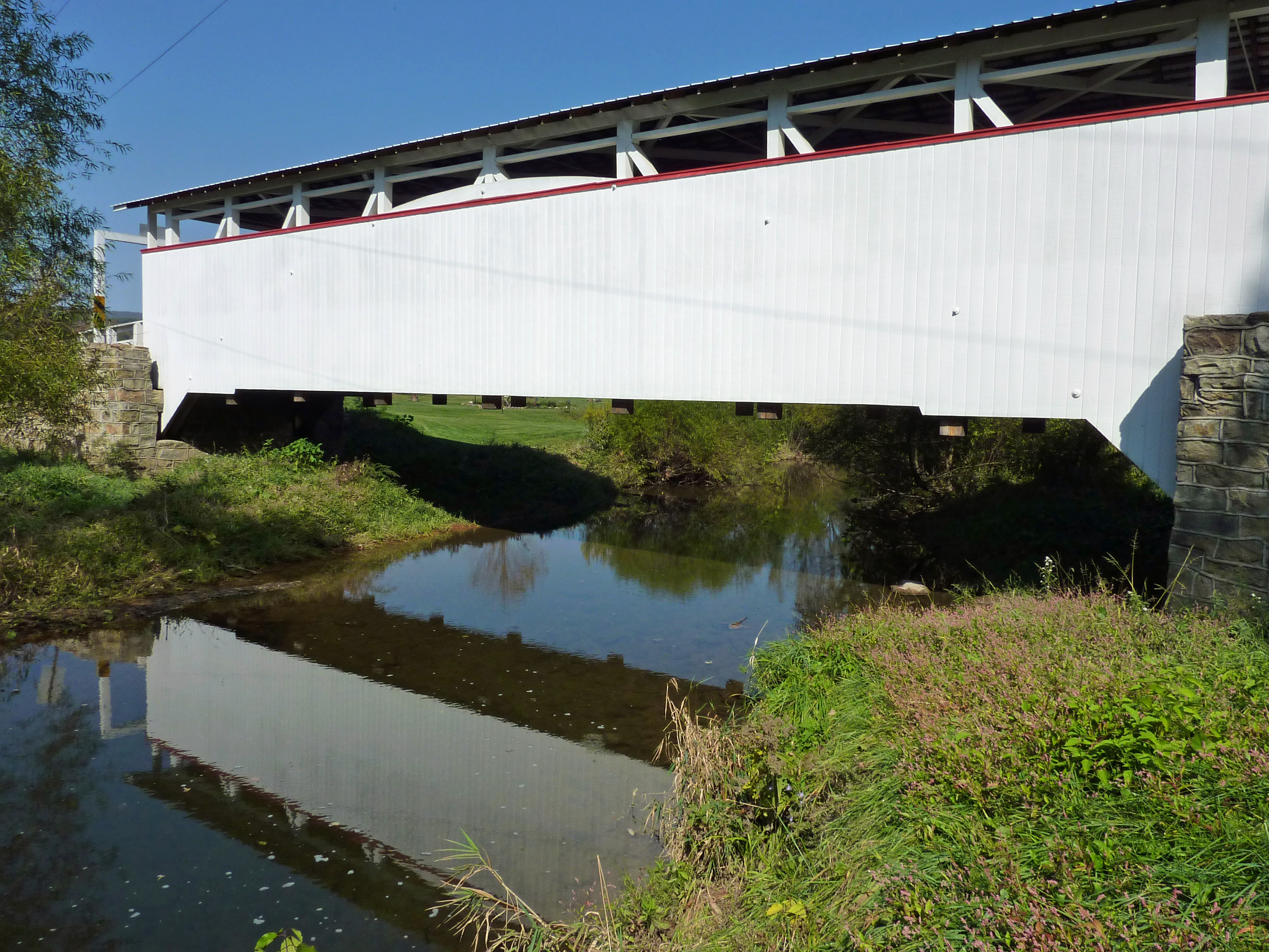
Ryot Covered Bridge built in 1868 over Dunning Creek in at West St. Clair Township, Bedford County, Pennsylvania, USA.
Original text from Flickr: During a family visit back to western PA in October 2010 we hopped in my sister's car and checked out some quaint covered bridges - I think all of them are in Bedford County (but let me know if I'm wrong). The bridges are still in good shape but several are no longer in use. It was a fun day checking these out since I had never seen any of them before. Identification confirmed on p. 38 of "Pennsylvania's Covered Bridges" 2nd ed. by Benjamin D. Evans and June R. Evans. |
||
| Date | |||
| Source | Flickr: Covered bridge in Western PA - not sure of the name | ||
| Author | Frank Kovalchek | ||
| Permission ( Reusing this file) |
This file is licensed under the
Creative Commons
Attribution 2.0 Generic license.
|
| Camera location |
| View this and other nearby images on: OpenStreetMap |
|
|---|
File history
Click on a date/time to view the file as it appeared at that time.
| Date/Time | Thumbnail | Dimensions | User | Comment | |
|---|---|---|---|---|---|
| current | 03:44, 30 October 2012 |
| 3,648 × 2,736 (2.48 MB) | Flickr upload bot | Uploaded from http://flickr.com/photo/72213316@N00/5516267737 using Flickr upload bot |
File usage
The following pages on the English Wikipedia use this file (pages on other projects are not listed):
Global file usage
The following other wikis use this file:
- Usage on tl.wikipedia.org
- Usage on www.wikidata.org