Original file (2,000 × 1,447 pixels, file size: 1.74 MB, MIME type: image/png)
| This is a file from the
Wikimedia Commons. Information from its
description page there is shown below. Commons is a freely licensed media file repository. You can help. |
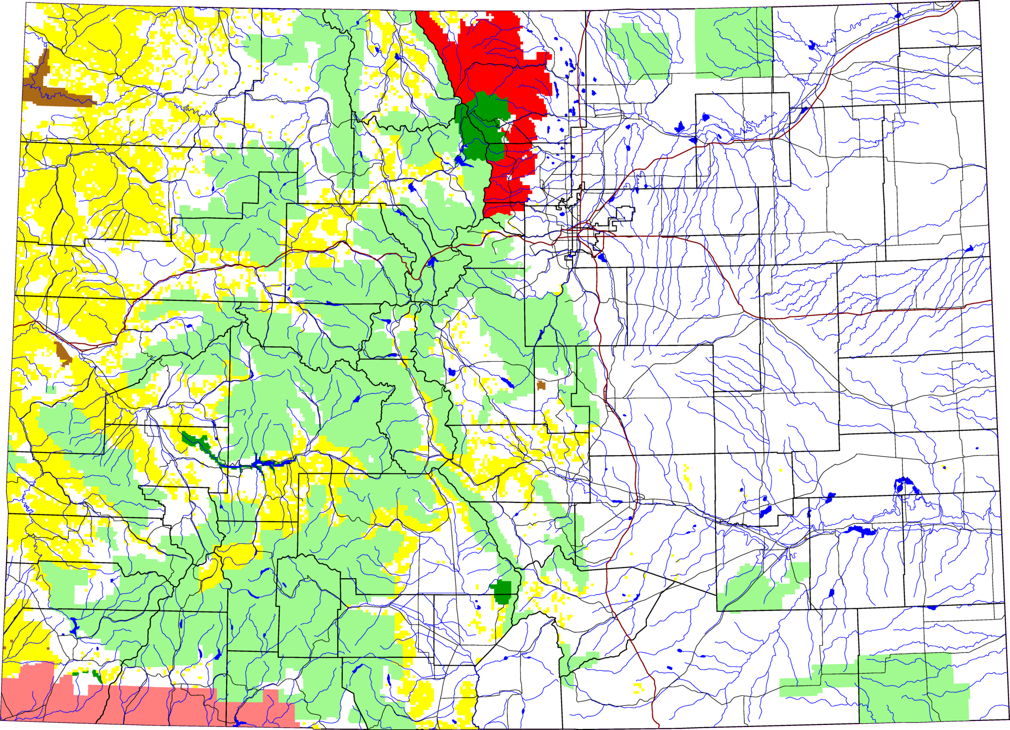
A map of Colorado, with Roosevelt National Forest highlighted in red. The light green is other Forest Service land, yellow is BLM land, dark green is National Park, brown is National Monument or National Historic Site, pink is Indian reservation. The reddish lines are Interstate Highways.
David Benbennick made this map with data from nationalatlas.gov.
The map uses the azimuthal equidistant projection, centered on (-105.7167, 39.1333) (degrees latitude, longitude). The area outside Colorado is transparent, so it should look nice on non-white backgrounds.
Eventually, I will upload the 4 megabyte Metapost script I used to make this map. In the mean time, see map.mp.
| I, the copyright holder of this work, release this work into the
public domain. This applies worldwide. In some countries this may not be legally possible; if so: I grant anyone the right to use this work for any purpose, without any conditions, unless such conditions are required by law. |
File history
Click on a date/time to view the file as it appeared at that time.
| Date/Time | Thumbnail | Dimensions | User | Comment | |
|---|---|---|---|---|---|
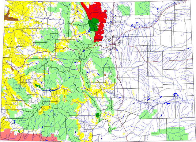
| current | 19:46, 8 March 2006 |
| 2,000 × 1,447 (1.74 MB) | Dbenbenn | thumbnail, since MediaWiki can't scale PNG images larger than 12.5 megapixels |
| 13:12, 8 August 2005 |
 | 6,235 × 4,511 (652 KB) | Dbenbenn | by me, PD |
File usage
Global file usage
The following other wikis use this file:
- Usage on ca.wikipedia.org
- Usage on es.wikipedia.org
- Usage on fa.wikipedia.org
- Usage on zh.wikipedia.org