Size of this preview:
800 × 450 pixels. Other resolutions:
320 × 180 pixels |
640 × 360 pixels |
1,024 × 576 pixels |
1,280 × 720 pixels |
1,920 × 1,080 pixels.
Original file (1,920 × 1,080 pixels, file size: 852 KB, MIME type: image/jpeg)
| This is a file from the
Wikimedia Commons. Information from its
description page there is shown below. Commons is a freely licensed media file repository. You can help. |
Summary
| Description |
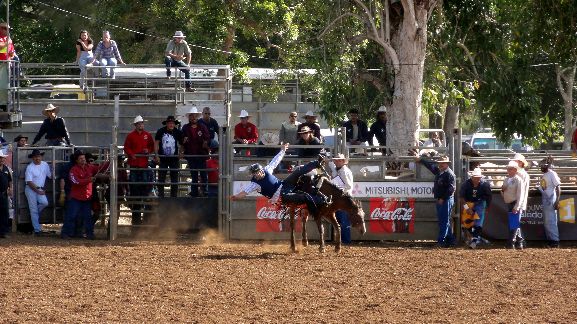
Français : Foire de Bourail |
| Date | |
| Source | Own work |
| Author | Roman.b |
| Camera location | | View this and other nearby images on: OpenStreetMap |
|
|---|
Licensing
I, the copyright holder of this work, hereby publish it under the following license:
| Copyleft: This work of art is free; you can redistribute it and/or modify it according to terms of the Free Art License. You will find a specimen of this license on the Copyleft Attitude site as well as on other sites. |
File history
Click on a date/time to view the file as it appeared at that time.
| Date/Time | Thumbnail | Dimensions | User | Comment | |
|---|---|---|---|---|---|
| current | 19:34, 11 April 2017 |
| 1,920 × 1,080 (852 KB) | Carnby | Levels |
| 06:51, 14 August 2011 |
 | 1,920 × 1,080 (876 KB) | Roman.b | {{Information |Description ={{fr|1=Foire de Bourail}} |Source ={{own}} |Author = Roman.b |Date =2011 |Permission = |other_versions = }} Category:New Caledonia |
File usage
The following pages on the English Wikipedia use this file (pages on other projects are not listed):
Global file usage
The following other wikis use this file:
- Usage on fr.wikipedia.org