
Size of this preview:
800 × 600 pixels. Other resolutions:
320 × 240 pixels |
640 × 480 pixels |
1,024 × 768 pixels |
1,280 × 960 pixels |
2,560 × 1,920 pixels |
2,816 × 2,112 pixels.
Original file (2,816 × 2,112 pixels, file size: 1.89 MB, MIME type: image/jpeg)
| This is a file from the
Wikimedia Commons. Information from its
description page there is shown below. Commons is a freely licensed media file repository. You can help. |
|
This is an image of a place or building that is listed on the
National Register of Historic Places in the
United States of America. Its reference number is
79001897. |
| Camera location |
| View this and other nearby images on: OpenStreetMap |
|
|---|
| Description |
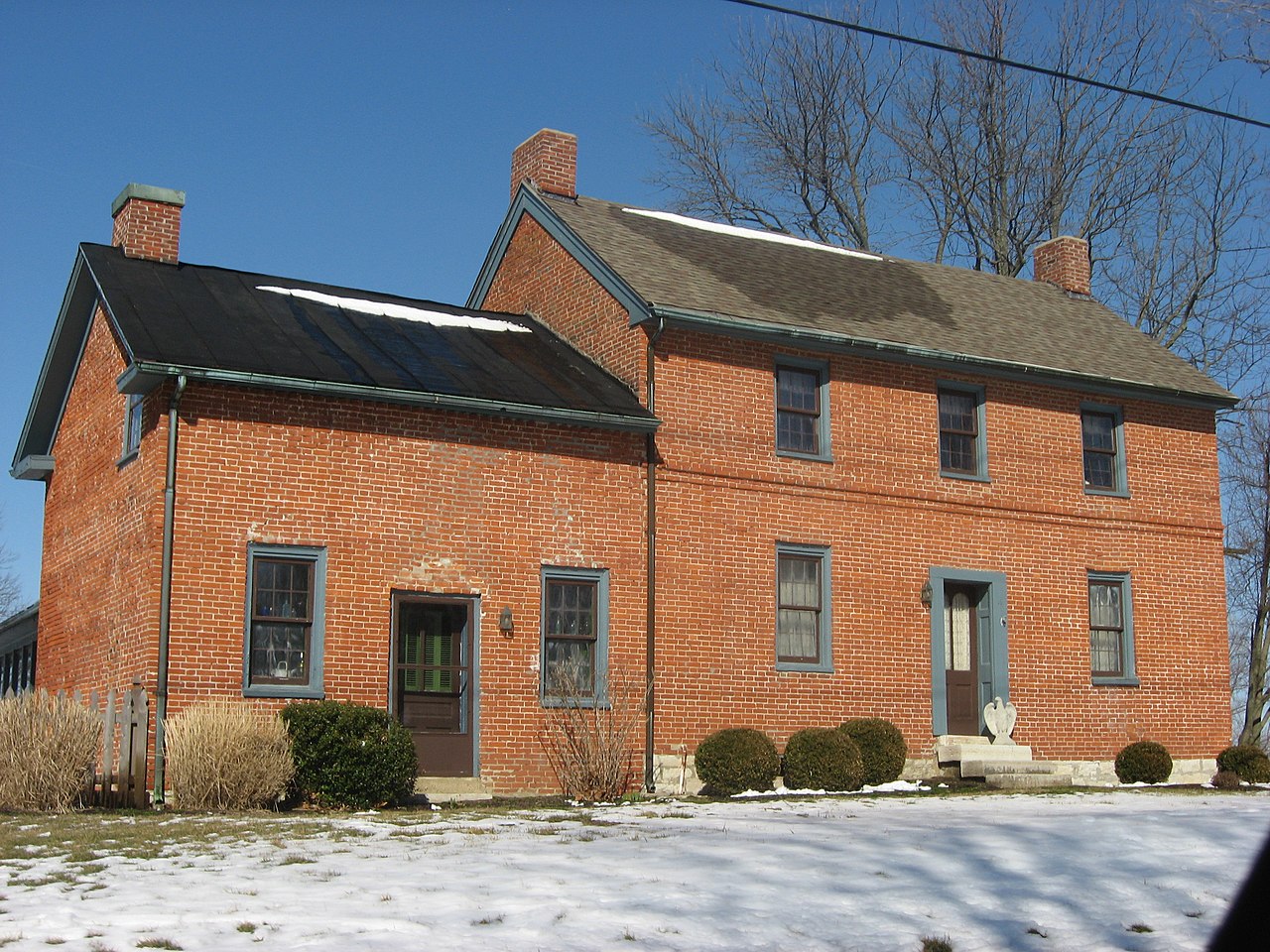
English: Front of the
Robert Bradford House, located at 1243 E. Social Row Road southeast of
Centerville in
Washington Township,
Montgomery County,
Ohio,
United States. Built in 1839, it is listed on the
National Register of Historic Places. |
||
| Date | Taken on 8 March 2013 | ||
| Source | Own work | ||
| Author | Nyttend | ||
| Permission ( Reusing this file) |
|
File history
Click on a date/time to view the file as it appeared at that time.
| Date/Time | Thumbnail | Dimensions | User | Comment | |
|---|---|---|---|---|---|
| current | 16:05, 18 March 2013 |
| 2,816 × 2,112 (1.89 MB) | Nyttend | {{NRHP|79001897}} {{Location|39|35|22|N|84|8|26|W}} {{Information |Description={{en|Front of the {{w|Robert Bradford House}}, located at 1243 E. Social Row Road southeast of {{w|Centerville, Ohio|Centerville}} in {{w|Washington Township, Montgomery Cou... |
File usage
The following pages on the English Wikipedia use this file (pages on other projects are not listed):