Size of this preview:
751 × 600 pixels. Other resolutions:
301 × 240 pixels |
601 × 480 pixels |
962 × 768 pixels |
1,200 × 958 pixels.
Original file (1,200 × 958 pixels, file size: 252 KB, MIME type: image/jpeg)
| This is a file from the
Wikimedia Commons. Information from its
description page there is shown below. Commons is a freely licensed media file repository. You can help. |
Summary
| Description |
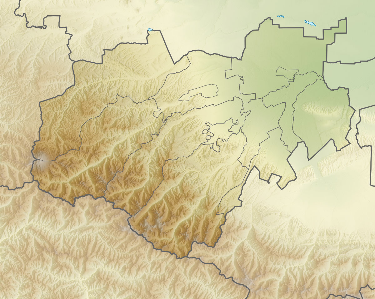
Русский: Физическая карта Кабардино-Балкарской Республики
|top = 44.1 |bottom = 42.7 |left = 42.2 |right = 44.6 |
| Date | |
| Source | |
| Author | Виктор В |
| Other versions |
|


Licensing
This file is licensed under the
Creative Commons
Attribution-Share Alike 2.0 Generic license.
- You are free:
- to share – to copy, distribute and transmit the work
- to remix – to adapt the work
- Under the following conditions:
- attribution – You must give appropriate credit, provide a link to the license, and indicate if changes were made. You may do so in any reasonable manner, but not in any way that suggests the licensor endorses you or your use.
- share alike – If you remix, transform, or build upon the material, you must distribute your contributions under the same or compatible license as the original.
File history
Click on a date/time to view the file as it appeared at that time.
| Date/Time | Thumbnail | Dimensions | User | Comment | |
|---|---|---|---|---|---|
| current | 18:26, 5 September 2010 |
| 1,200 × 958 (252 KB) | Виктор В | == {{int:filedesc}} == {{Information |Description={{ru|1=Физическая карта Кабардино-Балкарской Республики *Проекция — равноугольная. *Параметры шаблона (координат� |
File usage
The following pages on the English Wikipedia use this file (pages on other projects are not listed):
- Ailama
- Babis Mta
- Baksan (river)
- Baksan Hydroelectric Power Station
- Bezengi Glacier
- Chegem (river)
- Cherek
- Dykh-Tau
- Janga (mountain)
- Karakaya (Skalisty Range)
- Koshtan-Tau
- Lake Tambukan
- Malka (river)
- Mount Elbrus
- Nalchik river
- Shkhara
- Shota Rustaveli Peak
- Urukh
- Module:Location map/data/Russia Kabardino-Balkaria
- Module:Location map/data/Russia Kabardino-Balkaria/doc
Global file usage
The following other wikis use this file:
- Usage on ar.wikipedia.org
- Usage on az.wikipedia.org
- Usage on be.wikipedia.org
- Usage on bg.wikipedia.org
- Usage on ceb.wikipedia.org
- Usage on ce.wikipedia.org
- Usage on cs.wikipedia.org
- Usage on da.wikipedia.org
- Usage on de.wikipedia.org
- Usage on eo.wikipedia.org
- Usage on es.wikipedia.org
- Usage on fa.wikipedia.org
- Usage on fi.wikipedia.org
View more global usage of this file.