
Size of this preview:
800 × 598 pixels. Other resolutions:
320 × 239 pixels |
640 × 478 pixels |
1,024 × 765 pixels |
1,280 × 956 pixels |
2,592 × 1,936 pixels.
Original file (2,592 × 1,936 pixels, file size: 2.55 MB, MIME type: image/jpeg)
| This is a file from the
Wikimedia Commons. Information from its
description page there is shown below. Commons is a freely licensed media file repository. You can help. |
Summary
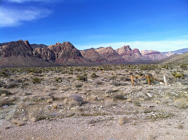
| Description | West of Las Vegas along Hwy 160 |
| Date | |
| Source |
West of Las Vegas along Hwy 160
|
| Author | Rick Cooper |
| Camera location |
| View this and other nearby images on: OpenStreetMap |
|
|---|
Licensing
This file is licensed under the
Creative Commons
Attribution 2.0 Generic license.
- You are free:
- to share – to copy, distribute and transmit the work
- to remix – to adapt the work
- Under the following conditions:
- attribution – You must give appropriate credit, provide a link to the license, and indicate if changes were made. You may do so in any reasonable manner, but not in any way that suggests the licensor endorses you or your use.
| This image, originally posted to Flickr, was reviewed on 2 April 2012 by the administrator or reviewer File Upload Bot (Magnus Manske), who confirmed that it was available on Flickr under the stated license on that date. |
| Annotations | This image is annotated: View the annotations at Commons |
File history
Click on a date/time to view the file as it appeared at that time.
| Date/Time | Thumbnail | Dimensions | User | Comment | |
|---|---|---|---|---|---|
| current | 01:44, 2 April 2012 |
| 2,592 × 1,936 (2.55 MB) | File Upload Bot (Magnus Manske) | Transferred from Flickr by User:PDTillman using flickr2commons |
File usage
The following pages on the English Wikipedia use this file (pages on other projects are not listed):