
Size of this preview:
800 × 542 pixels. Other resolutions:
320 × 217 pixels |
640 × 434 pixels |
1,024 × 694 pixels |
1,280 × 867 pixels |
2,781 × 1,884 pixels.
Original file (2,781 × 1,884 pixels, file size: 735 KB, MIME type: image/jpeg)
| This is a file from the
Wikimedia Commons. Information from its
description page there is shown below. Commons is a freely licensed media file repository. You can help. |
Summary
| Description |
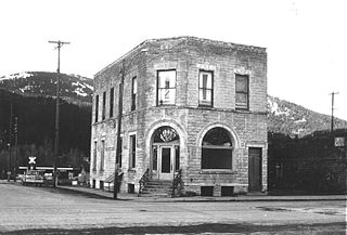
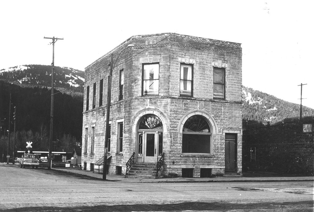
English: The historic Rathdrum State Bank building (built 1908), formerly located at the intersection of Main and Mill Streets in
Rathdrum,
Idaho,
United States, is listed on the US
National Register of Historic Places. The building was destroyed by 1998.
|
||
| Date |
(creation) 20 February 1974 (first publication) |
||
| Source | Renk, Nancy F. (February 20, 1974). National Register of Historic Places Inventory — Nomination Form: Rathdrum State Bank ( photos) (PDF). | ||
| Author | Idaho State Historical Society |
| Camera location | | View this and other nearby images on: OpenStreetMap |
|
|---|
Licensing
This work is in the
public domain in the United States because it was
published in the United States between 1929 and 1977, inclusive, without a
copyright notice. For further explanation, see
Commons:Hirtle chart as well as a
detailed definition of "publication" for public art. Note that it may still be copyrighted in jurisdictions that do not apply the
rule of the shorter term for US works (depending on the date of the author's death), such as Canada (50
p.m.a.), Mainland China (50 p.m.a., not Hong Kong or Macao), Germany (70 p.m.a.), Mexico (100 p.m.a.), Switzerland (70 p.m.a.), and other countries with individual treaties.
|
 |
File history
Click on a date/time to view the file as it appeared at that time.
| Date/Time | Thumbnail | Dimensions | User | Comment | |
|---|---|---|---|---|---|
| current | 22:30, 13 April 2015 |
| 2,781 × 1,884 (735 KB) | Ipoellet | User created page with UploadWizard |
File usage
The following pages on the English Wikipedia use this file (pages on other projects are not listed):