Size of this preview:
800 × 234 pixels. Other resolutions:
320 × 94 pixels |
889 × 260 pixels.
Original file (889 × 260 pixels, file size: 174 KB, MIME type: image/jpeg)
| This is a file from the
Wikimedia Commons. Information from its
description page there is shown below. Commons is a freely licensed media file repository. You can help. |
Summary
| Description |
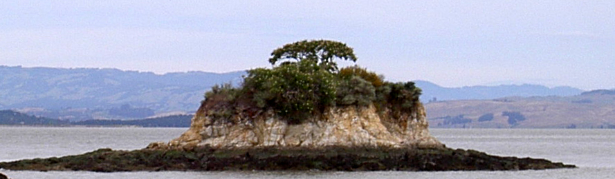
English: Rat Rock in San Pablo Bay, Marin County, California, USA as seen looking north from China Camp |
| Date | |
| Source | Own work |
| Author | Stepheng3 |
| Camera location |
| View this and other nearby images on: OpenStreetMap |
|
|---|
Licensing
| I, the copyright holder of this work, release this work into the
public domain. This applies worldwide. In some countries this may not be legally possible; if so: I grant anyone the right to use this work for any purpose, without any conditions, unless such conditions are required by law. |
File history
Click on a date/time to view the file as it appeared at that time.
| Date/Time | Thumbnail | Dimensions | User | Comment | |
|---|---|---|---|---|---|
| current | 10:23, 1 June 2010 |
| 889 × 260 (174 KB) | Stepheng3 | {{Information |Description={{en|1=Rat Rock in San Pablo Bay, Marin County, California, USA as seen looking north from China Camp}} |Source={{own}} |Author= Stepheng3 |Date=2010-05-31 |Permission= |other_versions= }} {{location|38|0|8|N|1 |
File usage
The following pages on the English Wikipedia use this file (pages on other projects are not listed):