
Size of this preview:
400 × 600 pixels. Other resolutions:
160 × 240 pixels |
320 × 480 pixels |
512 × 768 pixels |
682 × 1,024 pixels |
1,365 × 2,048 pixels |
2,848 × 4,272 pixels.
Original file (2,848 × 4,272 pixels, file size: 3.17 MB, MIME type: image/jpeg)
| This is a file from the
Wikimedia Commons. Information from its
description page there is shown below. Commons is a freely licensed media file repository. You can help. |
Summary
| Description |
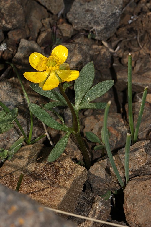
Ranunculus glaberrimus English: Sagebrush Buttercup;
Focus stacking of 2 pictures (using Helicon Focus).Source image gallery under other versions. |
| Date | 16 April 2010, 16:17:45 +00:00 |
| Source | Own work |
| Author | Walter Siegmund (talk) |
| Other versions |
|


| Camera location |
| View this and other nearby images on: OpenStreetMap |
|
|---|
- Location source: Garmin GPSmap 60CSx
- Location Datum: WGS84
- Viewpoint location: Umtanum Creek Trail, Wenas Wildlife Area, Umtanum Creek Recreation Area
- Viewpoint elevation: 449 meter (1474 ft)
- Camera: Canon EOS DIGITAL REBEL XSi
- Exposure Time: 1/200
- F Number: f/16.0
- Focal Length: 100.0
- Flash: Fill Fired
- ISO Speed Rating: 200
©2011 Walter Siegmund

|
This image has been assessed under the valued image criteria and is considered the most valued image on Commons within the scope: Ranunculus glaberrimus (Sagebrush Buttercup). You can see its nomination here. |
Licensing

|
Permission is granted to copy, distribute and/or modify this document under the terms of the GNU Free Documentation License, Version 1.2 or any later version published by the Free Software Foundation; with no Invariant Sections, no Front-Cover Texts, and no Back-Cover Texts. A copy of the license is included in the section entitled GNU Free Documentation License. |
This file is licensed under the
Creative Commons Attribution-Share Alike
3.0 Unported,
2.5 Generic,
2.0 Generic and
1.0 Generic license.
- You are free:
- to share – to copy, distribute and transmit the work
- to remix – to adapt the work
- Under the following conditions:
- attribution – You must give appropriate credit, provide a link to the license, and indicate if changes were made. You may do so in any reasonable manner, but not in any way that suggests the licensor endorses you or your use.
- share alike – If you remix, transform, or build upon the material, you must distribute your contributions under the same or compatible license as the original.
File history
Click on a date/time to view the file as it appeared at that time.
| Date/Time | Thumbnail | Dimensions | User | Comment | |
|---|---|---|---|---|---|
| current | 17:41, 16 June 2011 |
| 2,848 × 4,272 (3.17 MB) | Wsiegmund |
File usage
The following pages on the English Wikipedia use this file (pages on other projects are not listed):
Global file usage
The following other wikis use this file:
- Usage on arz.wikipedia.org
- Usage on az.wikipedia.org
- Usage on ceb.wikipedia.org
- Usage on en.wiktionary.org
- Usage on fa.wikipedia.org
- Usage on fr.wikipedia.org
- Usage on sv.wikipedia.org
- Usage on uk.wikipedia.org
- Usage on war.wikipedia.org
- Usage on www.wikidata.org