
Size of this preview:
800 × 533 pixels. Other resolutions:
320 × 213 pixels |
640 × 427 pixels |
1,024 × 683 pixels |
1,280 × 853 pixels |
1,800 × 1,200 pixels.
Original file (1,800 × 1,200 pixels, file size: 2.47 MB, MIME type: image/jpeg)
| This is a file from the
Wikimedia Commons. Information from its
description page there is shown below. Commons is a freely licensed media file repository. You can help. |
.jpg)
Summary
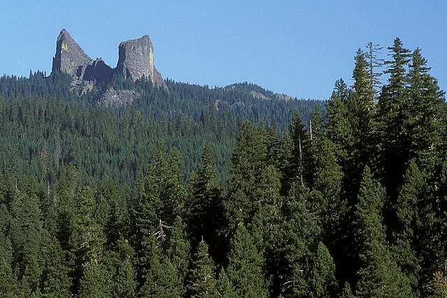
| Description | Rogue River-Siskiyou National Forest |
| Date | |
| Source | Rabbit Ears, Rogue River Siskiyou National Forest |
| Author | U.S. Forest Service- Pacific Northwest Region |
| Camera location |
| View this and other nearby images on: OpenStreetMap |
|
|---|
.jpg¶ms=042.972724_N_-122.468118_E_globe:Earth_type:camera_source:Flickr_&language=en)
Licensing
| This image was originally posted to Flickr by Forest Service Pacific Northwest Region at https://flickr.com/photos/135886671@N08/23305701224 ( archive). It was reviewed on 13 September 2018 by FlickreviewR 2 and was confirmed to be licensed under the terms of the Public Domain Mark. |
This image is a work of the
Forest Service of the
United States Department of Agriculture. As a
work of the
U.S. federal government, the image is in the
public domain.
|
File history
Click on a date/time to view the file as it appeared at that time.
| Date/Time | Thumbnail | Dimensions | User | Comment | |
|---|---|---|---|---|---|
| current | 19:48, 13 September 2018 |
| 1,800 × 1,200 (2.47 MB) | Tyler ser Noche | Transferred from Flickr via #flickr2commons |
File usage
The following pages on the English Wikipedia use this file (pages on other projects are not listed):
Global file usage
The following other wikis use this file:
- Usage on es.wikipedia.org
.jpg)