Size of this preview:
800 × 532 pixels. Other resolutions:
320 × 213 pixels |
640 × 426 pixels |
1,024 × 681 pixels |
1,280 × 851 pixels |
2,560 × 1,702 pixels |
6,016 × 4,000 pixels.
Original file (6,016 × 4,000 pixels, file size: 6.23 MB, MIME type: image/jpeg)
| This is a file from the
Wikimedia Commons. Information from its
description page there is shown below. Commons is a freely licensed media file repository. You can help. |
| Camera location |
| View this and other nearby images on: OpenStreetMap |
|
|---|
| Description |
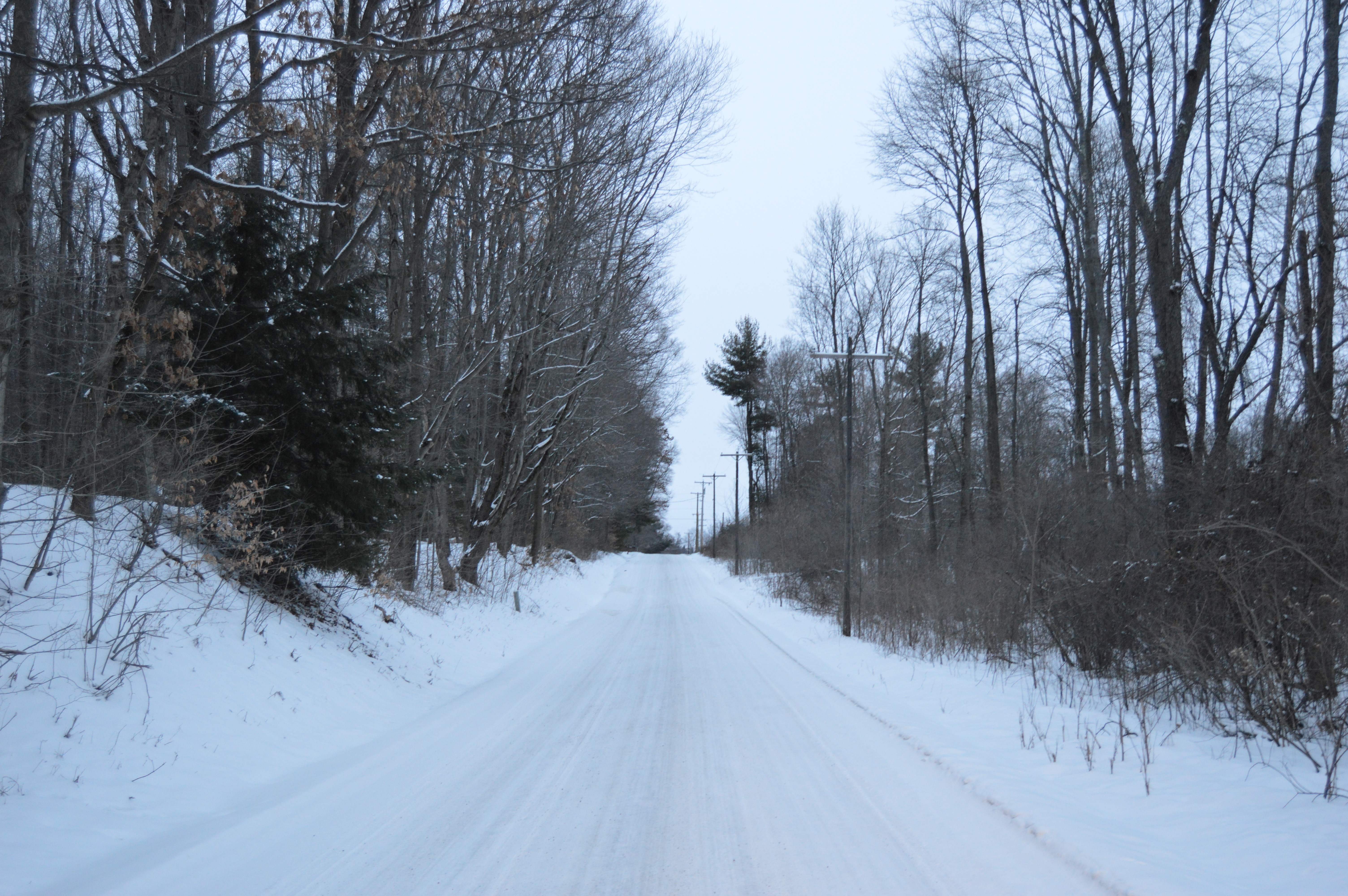
English: A snowy road in southwestern
Crawford County,
Pennsylvania,
United States. Photo looks north on Pine Road in
East Fallowfield Township, just south of the
U.S. Route 322/
Pennsylvania Route 18 intersection. |
||
| Date | Taken on 25 January 2015 | ||
| Source | Own work | ||
| Author | Nyttend | ||
| Permission ( Reusing this file) |
|
File history
Click on a date/time to view the file as it appeared at that time.
| Date/Time | Thumbnail | Dimensions | User | Comment | |
|---|---|---|---|---|---|
| current | 04:52, 26 January 2015 |
| 6,016 × 4,000 (6.23 MB) | Nyttend | {{Location|41|33|43|N|80|21|20|W}} {{Information |Description={{en|A snowy road in southwestern {{w|Crawford County, Pennsylvania|Crawford County}}, {{w|Pennsylvania}}, {{w|United States}}. Photo looks north on Pine Road in {{w|East Fallowfield Townsh... |
File usage
The following pages on the English Wikipedia use this file (pages on other projects are not listed):
Global file usage
The following other wikis use this file:
- Usage on es.wikipedia.org
- Usage on fr.wikipedia.org
- Usage on tl.wikipedia.org
- Usage on uk.wikipedia.org
- Usage on vi.wikipedia.org
- Usage on www.wikidata.org