
Size of this PNG preview of this SVG file:
600 × 600 pixels. Other resolutions:
240 × 240 pixels |
480 × 480 pixels |
768 × 768 pixels |
1,024 × 1,024 pixels |
2,048 × 2,048 pixels |
1,332 × 1,332 pixels.
Original file (SVG file, nominally 1,332 × 1,332 pixels, file size: 2.23 MB)
| This is a file from the
Wikimedia Commons. Information from its
description page there is shown below. Commons is a freely licensed media file repository. You can help. |
.svg)
Summary
| Description |
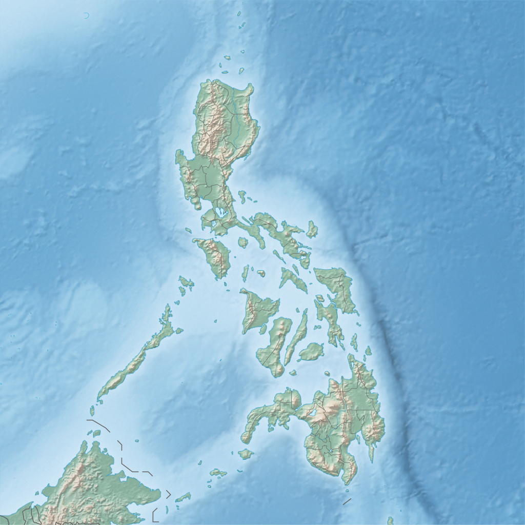
English: Physical location map of the Philippines
Equirectangular projection based on the parallel of 10°43' N
|
| Date | |
| Source | Own work |
| Author | Hellerick |
Licensing
I, the copyright holder of this work, hereby publish it under the following license:
This file is licensed under the
Creative Commons
Attribution-Share Alike 3.0 Unported license.
- You are free:
- to share – to copy, distribute and transmit the work
- to remix – to adapt the work
- Under the following conditions:
- attribution – You must give appropriate credit, provide a link to the license, and indicate if changes were made. You may do so in any reasonable manner, but not in any way that suggests the licensor endorses you or your use.
- share alike – If you remix, transform, or build upon the material, you must distribute your contributions under the same or compatible license as the original.
File history
Click on a date/time to view the file as it appeared at that time.
| Date/Time | Thumbnail | Dimensions | User | Comment | |
|---|---|---|---|---|---|
| current | 16:32, 16 June 2013 |
| 1,332 × 1,332 (2.23 MB) | Hellerick | User created page with UploadWizard |
File usage
More than 100 pages use this file. The following list shows the first 100 pages that use this file only. A full list is available.
.svg)
- Agno River
- Agusan River
- Aklan River
- Allah Valley
- Babuyan Islands
- Balintang Channel
- Bantayan Island
- Batan Island
- Batangas Bay
- Battle of Tirad Pass
- Biliran (volcano)
- Bohol Sea
- Boracay
- Bud Dajo
- Burias (island)
- Butuan Bay
- Cagayan River
- Calayan Island
- Calicoan Island
- Callao Cave
- Camotes Islands
- Camotes Sea
- Canigao Channel
- Cebu Strait
- Chocolate Hills
- Cordillera Central (Luzon)
- Coron Island
- Corregidor
- Davao Gulf
- Didicas Volcano
- Fort Drum (Philippines)
- Fort Mills
- Fuga Island
- Gibusong
- Homonhon
- Hundred Islands National Park
- Iligan Bay
- Jolo
- Kalbario–Patapat Natural Park
- Lake Caliraya
- Lake Lanao
- Lake Mainit
- Lake Sebu
- Leyte Gulf
- Lingayen Gulf
- List of islands of the Philippines
- Lubang Island
- Mactan
- Manila Bay
- Maria Cristina Falls
- Masbate Island
- Mavulis Island
- Mayon
- Mindanao
- Moro Gulf
- Mount Apo
- Mount Arayat
- Mount Banahaw
- Mount Butung
- Mount Guiting-Guiting
- Mount Makiling
- Mount Mirador
- Mount Nailog
- Mount Pinatubo
- Mount Pulag
- Naujan Lake
- Ormoc Bay
- Palawan (island)
- Pamalican
- Pampanga River
- Panaon Island
- Panay Gulf
- Panglao Island
- Panguil Bay
- Pansipit River
- Pasig River
- Philippine Open (golf)
- Philippine Sea
- Philippine Trench
- Polillo Island
- Polillo Islands
- Rice Terraces of the Philippine Cordilleras
- Rio Grande de Mindanao
- Samar Sea
- San Bernardino Strait
- San Juanico Strait
- San Pedro Bay (Philippines)
- Siargao
- Sibuyan Island
- Sibuyan Sea
- Sulu Archipelago
- Sulu Sea
- Suluan
- Surigao Strait
- Taal Lake
- Taal Volcano
- Tablas Island
- Tarlac River
- Ticao Island
- Tubbataha Reef
View more links to this file.
Global file usage
The following other wikis use this file:
- Usage on ar.wikipedia.org
- Usage on ast.wikipedia.org
- Usage on ban.wikipedia.org
- Usage on bcl.wikipedia.org
- Bukid Isarog
- Bulkan Mayon
- Golpo kan Albay
- Leyte (golpo)
- Salog Bikol
- Suba' nin San Miguel
- Module:Mapa nin kinamumugtakan/datos/Filipinas
- Module:Mapa nin kinamumugtakan/datos/Filipinas/doc
- Bukid Apo
- Suba' nin San Pedro (Filipinas)
- Linog sa Golpo nin Moro (1976)
- Golpo nin Moro
- Suba' nin Sibuguey
- Suba' nin Illana
- Itiot nin San Bernardino
- Bulkan Taal
- Bukid Masaraga
- Bukid Labo
- Linog sa Bisaya (2019)
- Kanlaon
- Dai pa napapangaran na bulkan (Ibugos)
- Bukid Guiting-Guiting
- Bahura nin Tubbataha
- Bukid Pinatubo
- Bukid Hamiguitan
- Danaw nin Venado
- Salog Loboc
- Salog Agos
- Bukid Iraya
- Salog Aklan
- Bukid Batulao
- Bukid Kalatungan
- Bukid Kitanglad
- Dam nin Wawa
- Golpo kan Ragay
- Aurora Memorial National Park
- Kambal na Danao nin Balinsasayao
- Natural na Parke nin Bongsanglay
- Natural na Parke nin Kalbario-Patapat
- Natural na parke nin Sibalom
- Aliguay
View more global usage of this file.
.svg)
.svg)