
Size of this PNG preview of this SVG file:
619 × 599 pixels. Other resolutions:
248 × 240 pixels |
496 × 480 pixels |
793 × 768 pixels |
1,058 × 1,024 pixels |
2,115 × 2,048 pixels |
1,546 × 1,497 pixels.
Original file (SVG file, nominally 1,546 × 1,497 pixels, file size: 771 KB)
| This is a file from the
Wikimedia Commons. Information from its
description page there is shown below. Commons is a freely licensed media file repository. You can help. |
Summary
| Description |
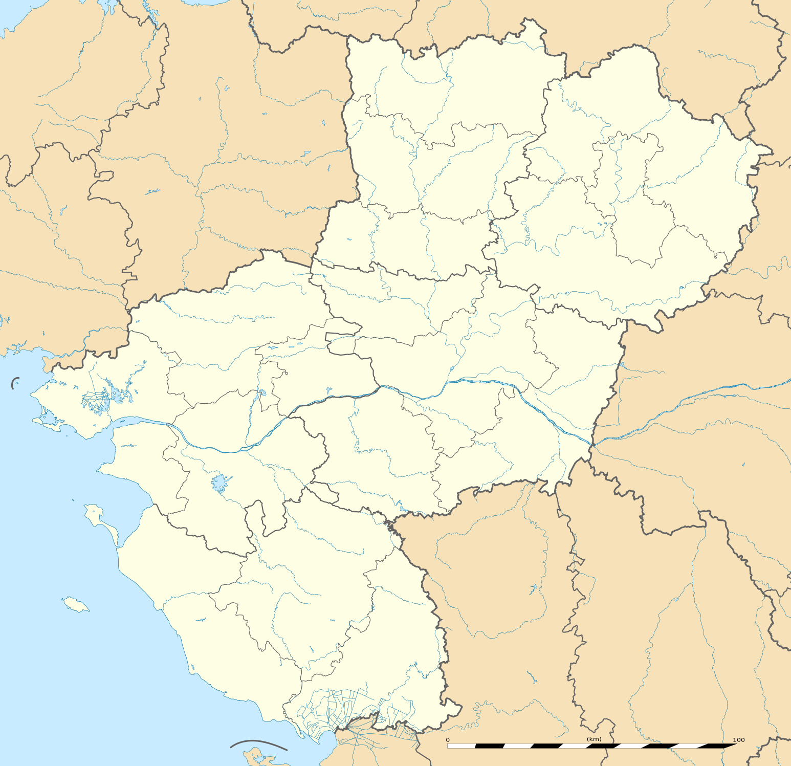
English: Blank administrative map of the region of
Pays de la Loire, France, as in February 2011, for geo-location purpose, with distinct boundaries for regions, departments and arrondissements.
Français : Carte administrative vierge de la région des
Pays de la Loire, France, telle qu'en février 2011, destinée à la géolocalisation, avec limite distincte des régions, départements et arrondissements. Estimated scale: 1:720,000 (precision: 180 m)
Geographic limits of the map:
|
||
| Date | |||
| Source |
Own work
|
||
| Author | Eric Gaba ( Sting - fr:Sting) | ||
| Permission ( Reusing this file) |
|
||
| Other versions |
|

| Camera location |
| View this and other nearby images on: OpenStreetMap |
|
|---|
Licensing
Eric Gaba, Wikimedia Commons user
Sting, the copyright holder of this work, hereby publishes it under the following license:
This file is licensed under the
Creative Commons
Attribution-Share Alike 3.0 Unported license.
Attribution: Eric Gaba, Wikimedia Commons user
Sting
- You are free:
- to share – to copy, distribute and transmit the work
- to remix – to adapt the work
- Under the following conditions:
- attribution – You must give appropriate credit, provide a link to the license, and indicate if changes were made. You may do so in any reasonable manner, but not in any way that suggests the licensor endorses you or your use.
- share alike – If you remix, transform, or build upon the material, you must distribute your contributions under the same or compatible license as the original.
File history
Click on a date/time to view the file as it appeared at that time.
| Date/Time | Thumbnail | Dimensions | User | Comment | |
|---|---|---|---|---|---|
| current | 13:51, 2 March 2011 |
| 1,546 × 1,497 (771 KB) | Sting | == {{int:filedesc}} == {{Information |Description={{en|Blank administrative map of the region of Pays de la Loire, France, as in February 2011, for geo-location purpose, with distinct boundaries for regions, departments and arrond |
File usage
More than 100 pages use this file. The following list shows the first 100 pages that use this file only. A full list is available.
- Abbaretz
- Ancenis
- Angers
- Aron, Mayenne
- Aubigné-Racan
- Ballots, Mayenne
- Batz-sur-Mer
- Beaupréau
- Bouguenais
- Bouvron, Loire-Atlantique
- Brissac-Quincé
- Challans
- Chalonnes-sur-Loire
- Champagné, Sarthe
- Champtoceaux
- Chantonnay
- Chemillé-Melay
- Cholet
- Château-Gontier
- Châteaubriant
- Châtelain, Mayenne
- Clisson
- Combrée
- Corpe
- Couëron
- Cuon, Maine-et-Loire
- Daon
- Domfront-en-Champagne
- Doué-la-Fontaine
- Drain, Maine-et-Loire
- Fatines
- Fontenay-le-Comte
- Fontevraud-l'Abbaye
- Gennes, Maine-et-Loire
- Juvigné
- La Baule-Escoublac
- La Bosse, Sarthe
- La Chapelle-Glain
- La Châtaigneraie
- La Flèche
- La Garnache
- La Roche-sur-Yon
- La Varenne, Maine-et-Loire
- Laval, Mayenne
- Le Mans
- Le Puy-Notre-Dame
- Les Epesses
- Les Essarts, Vendée
- Les Ponts-de-Cé
- Les Sables-d'Olonne
- Luçon
- Lézigné
- Machecoul
- Maillezais
- Mamers
- Mayenne (commune)
- Montreuil-Bellay
- Montsoreau
- Mouilleron-en-Pareds
- Moulay
- Moutiers-les-Mauxfaits
- Mulsanne
- Nantes
- Nantes Atlantique Airport
- Nesmy
- Neufchâtel-en-Saosnois
- Noirmoutier-en-l'Île
- Noyant-la-Gravoyère
- Oisseau
- Orvault
- Poillé-sur-Vègre
- Pré-en-Pail
- Rezé
- Rougé
- Sablé-sur-Sarthe
- Saint-Herblain
- Saint-Hilaire-de-Loulay
- Saint-Jean-de-Monts
- Saint-Macaire-du-Bois
- Saint-Macaire-en-Mauges
- Saint-Maixent
- Saint-Malo-de-Guersac
- Saint-Mars-d'Outillé
- Saint-Nazaire
- Saint-Pierre-du-Chemin
- Saint-Rémy-du-Val
- Saint-Sébastien-sur-Loire
- Sainte-Gemmes-le-Robert
- Saumur
- Savenay
- Savennières
- Segré
- Sion-les-Mines
- Solesmes, Sarthe
- Sucé-sur-Erdre
- Terval
- Vertou
- Vezins, Maine-et-Loire
- Vihiers
- Vivoin
View more links to this file.
Global file usage
The following other wikis use this file:
- Usage on als.wikipedia.org
- Usage on ar.wikipedia.org
- Usage on azb.wikipedia.org
- Usage on bg.wikipedia.org
- Usage on bn.wikipedia.org
- Usage on ceb.wikipedia.org
- Usage on cy.wikipedia.org
- Usage on de.wikipedia.org
- Usage on el.wikipedia.org
- Usage on eo.wikipedia.org
- Usage on es.wikipedia.org
- Nantes
- Angers
- Le Mans
- Saint-Nazaire
- La Roche-sur-Yon
- Anexo:Patrimonio de la Humanidad en Francia
- La Haie-Fouassière
- Montsoreau
- Castillo de Saumur
- Parque oriental de Maulévrier
- Jardín botánico de Chemillé
- Plantilla:Mapa de localización de Países del Loira
- Castillo de Plessis-Bourré
- Arboretum de la Grand Prée
- Arboretum du Puy du Fou
- Catedral de Angers
- Catedral de la Santa Trinidad (Laval)
- Catedral de Nuestra Señora (Luçon)
- Catedral de San Pedro (Maillezais)
- Palacio del Tau (Angers)
- Palacio del Lude
- Castillo de Baugé
- Usage on fa.wikipedia.org
View more global usage of this file.