
Size of this preview:
800 × 533 pixels. Other resolutions:
320 × 213 pixels |
640 × 427 pixels |
1,024 × 683 pixels |
1,280 × 853 pixels |
1,800 × 1,200 pixels.
Original file (1,800 × 1,200 pixels, file size: 663 KB, MIME type: image/jpeg)
| This is a file from the
Wikimedia Commons. Information from its
description page there is shown below. Commons is a freely licensed media file repository. You can help. |
Summary
| Description |
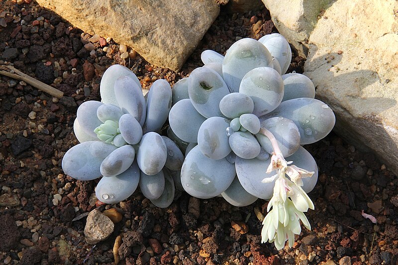
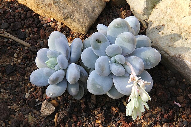
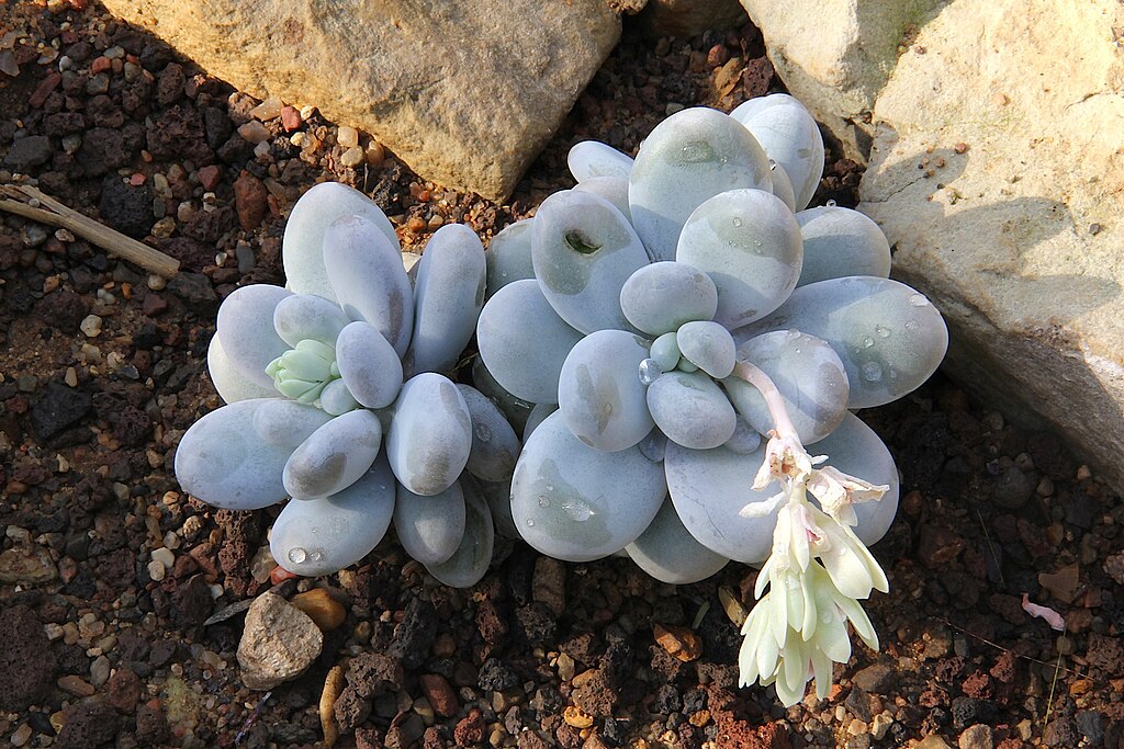
Deutsch: Pachyphytum oviferum |
| Date | |
| Source | Own work |
| Author | Peter A. Mansfeld |
| Camera location |
| View this and other nearby images on: OpenStreetMap |
|
|---|
Licensing
Peter A. Mansfeld, the copyright holder of this work, hereby publishes it under the following license:
This file is licensed under the
Creative Commons
Attribution 3.0 Unported license.
Attribution:
Peter A. Mansfeld
- You are free:
- to share – to copy, distribute and transmit the work
- to remix – to adapt the work
- Under the following conditions:
- attribution – You must give appropriate credit, provide a link to the license, and indicate if changes were made. You may do so in any reasonable manner, but not in any way that suggests the licensor endorses you or your use.
File history
Click on a date/time to view the file as it appeared at that time.
| Date/Time | Thumbnail | Dimensions | User | Comment | |
|---|---|---|---|---|---|
| current | 16:43, 6 March 2012 |
| 1,800 × 1,200 (663 KB) | PeterMansfeld | {{Information |Description ={{de|1=Pachyphytum oviferum}} |Source ={{own}} |Author = Peter A. Mansfeld |Date =siehe EXIF |Permission = |other_versions = }} Category:Pachyphytum oviferum |
File usage
No pages on the English Wikipedia use this file (pages on other projects are not listed).
Global file usage
The following other wikis use this file:
- Usage on de.wikipedia.org
- Usage on ru.wikipedia.org